Stage 2 — Ville des Glaciers to Courmayeur
Over the Col de la Seigne and into Italy. A gentler day than the first, and the one where the breathing practice became a technique.
At a glance · 10.2 mi · +2,838 ft · high point Col de la Seigne (2,512 m) · moving 6h29 · avg HR 123
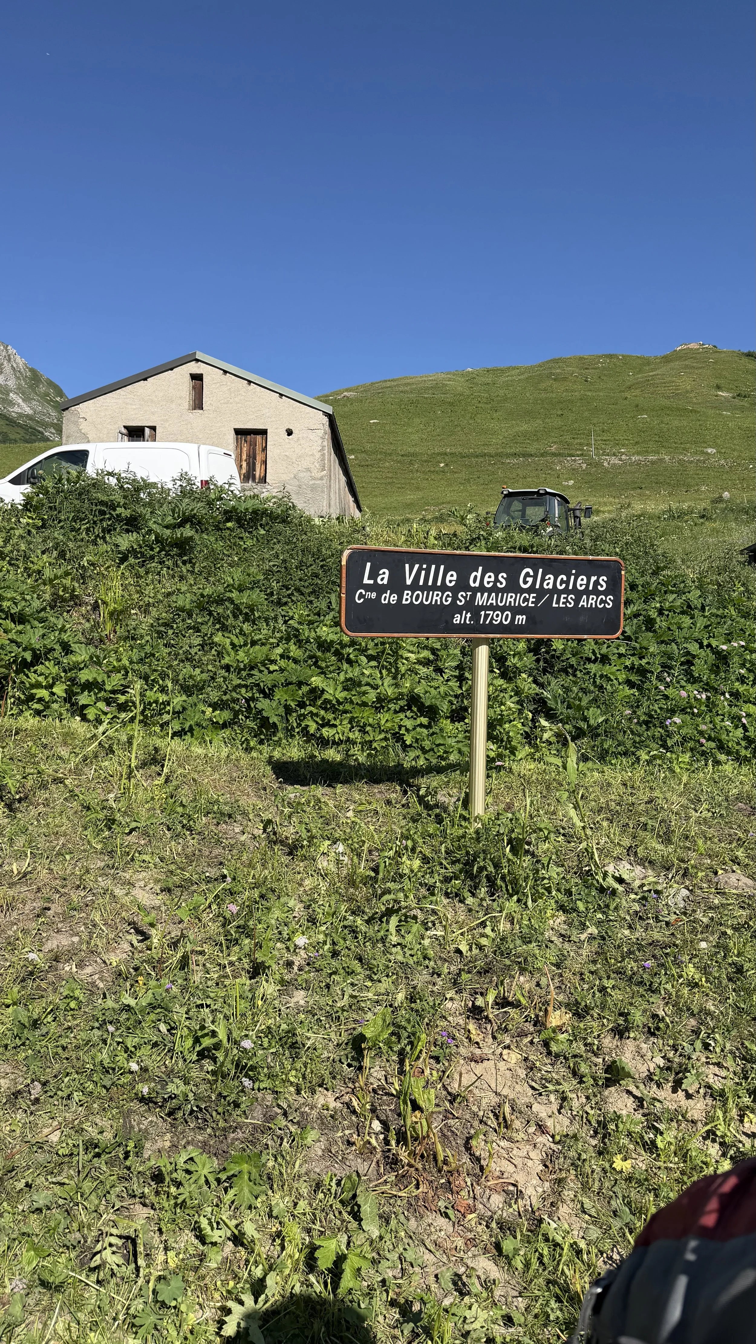
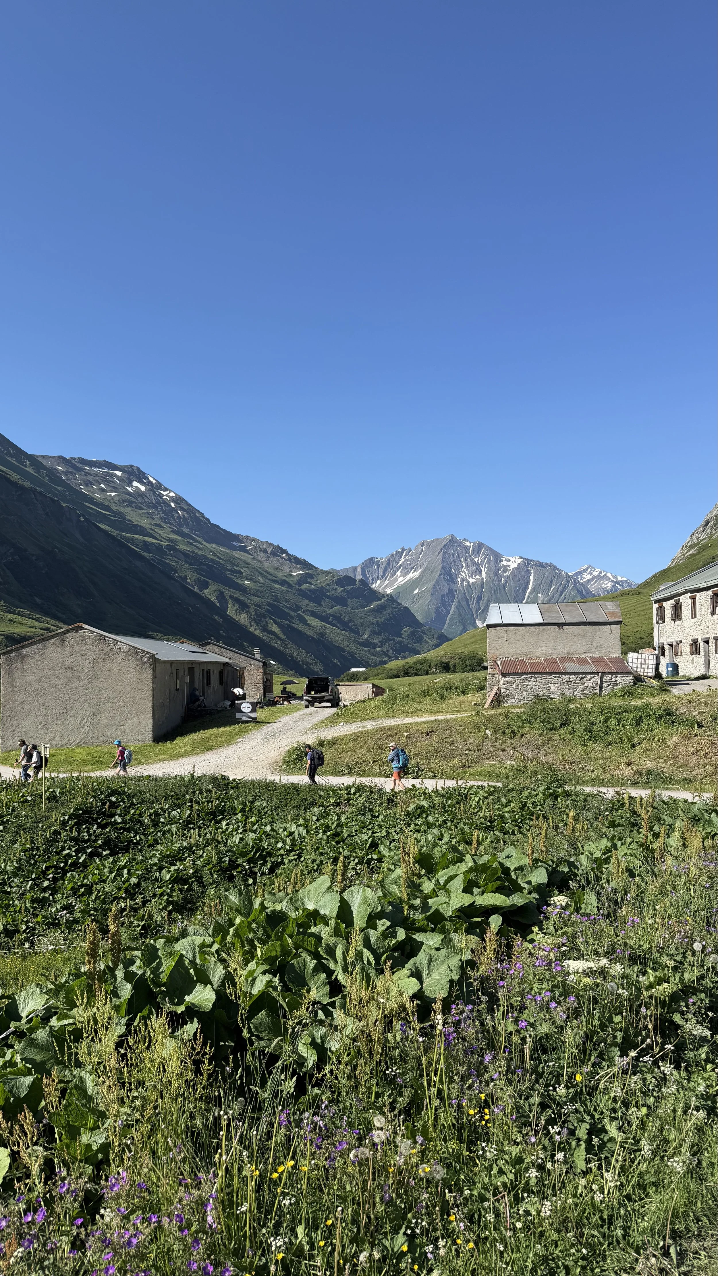
After a decent breakfast, we took a taxi to the trailhead at Ville des Glaciers, stopping on the way at a village bakery to grab lunch, a tuna sandwich and a baguette for me.
I'd looked at the map the night before and knew this would be a gentler day than the one before it. My thighs still hadn't forgiven me for yesterday. The soreness was right there with every step. But the pack was a little lighter today, and that helped. Lesson learned.
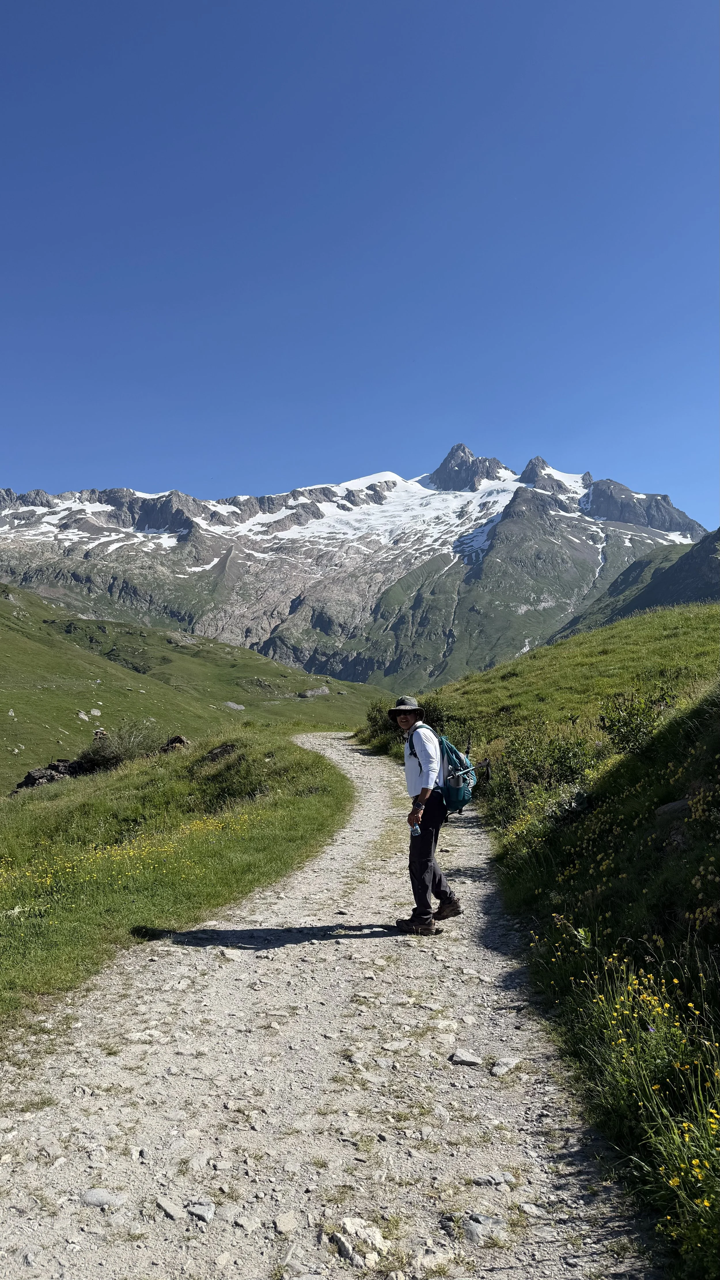
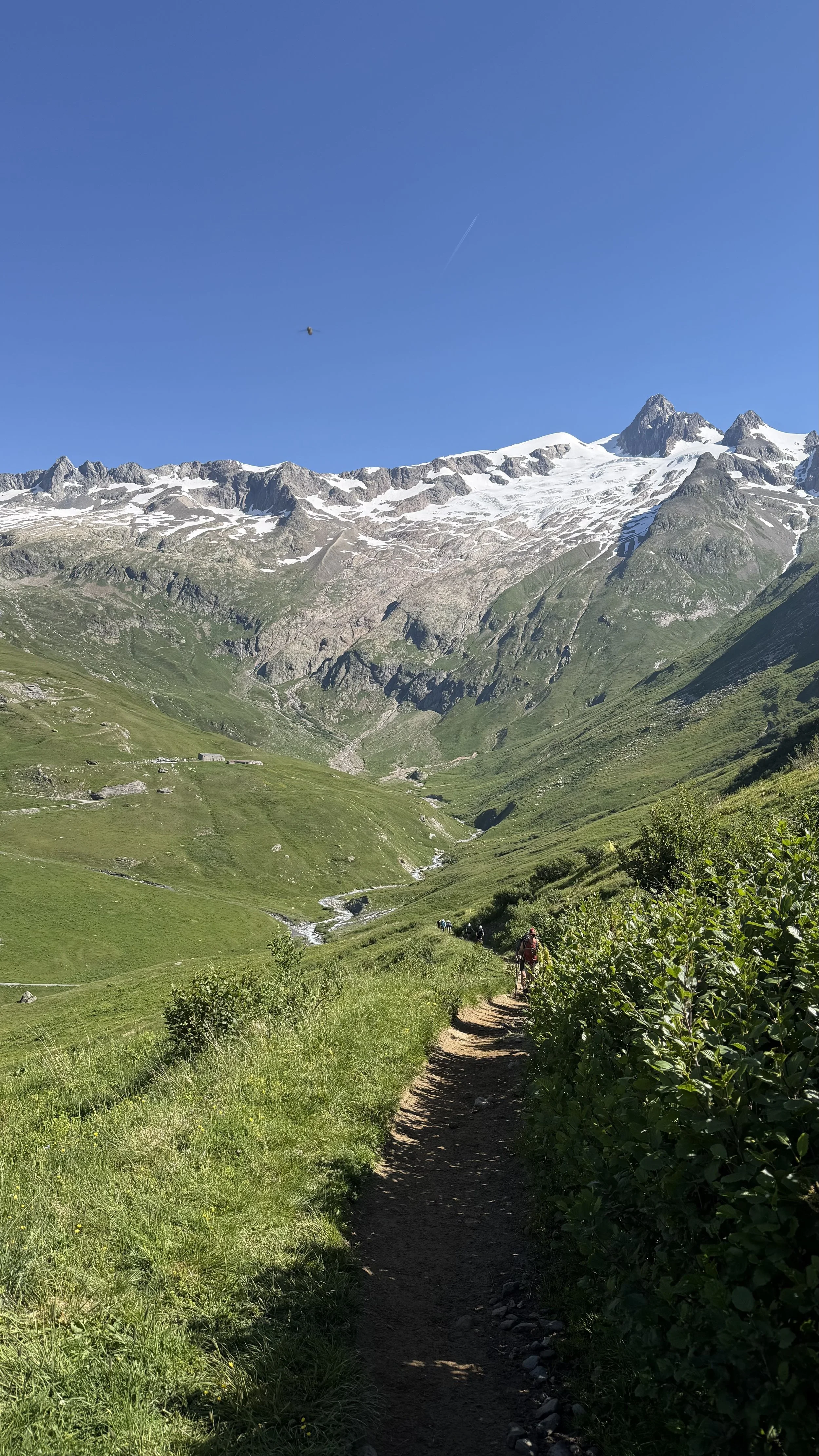
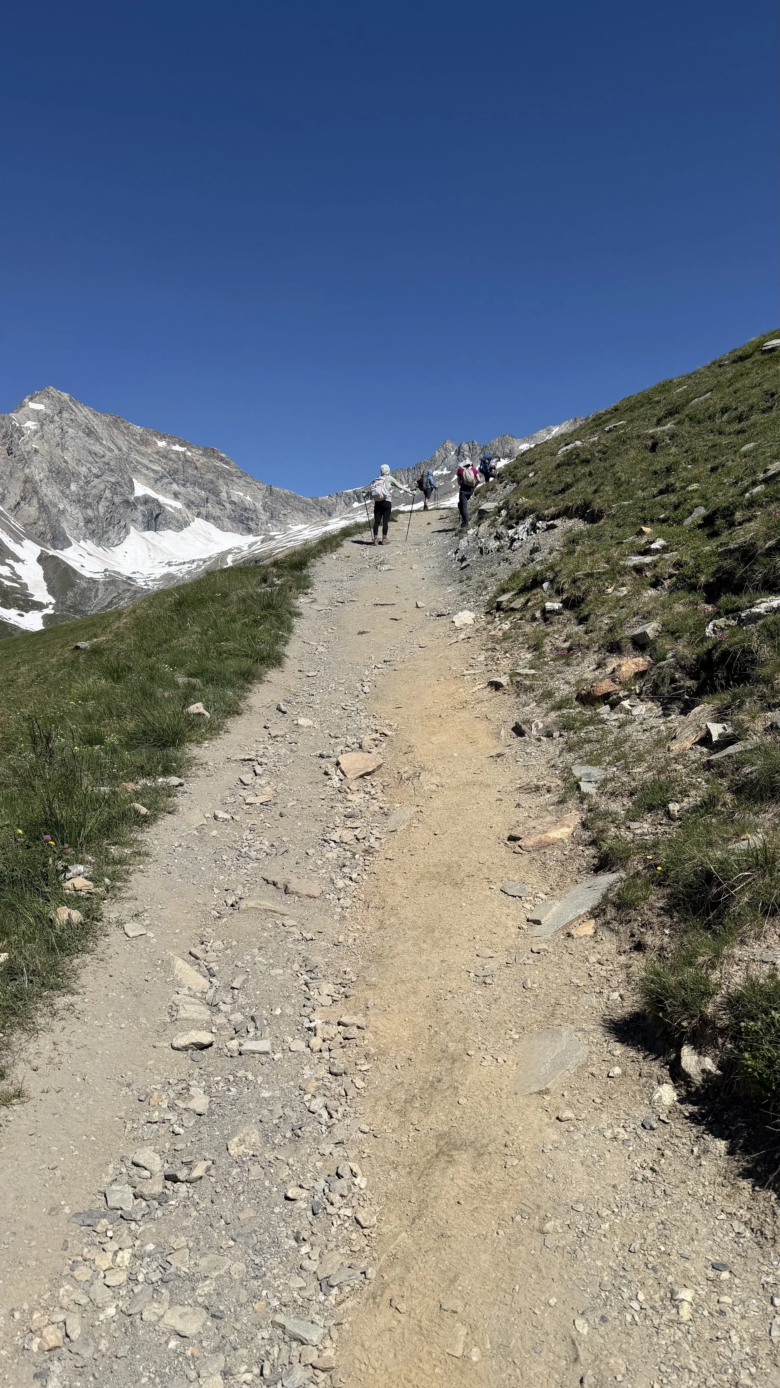
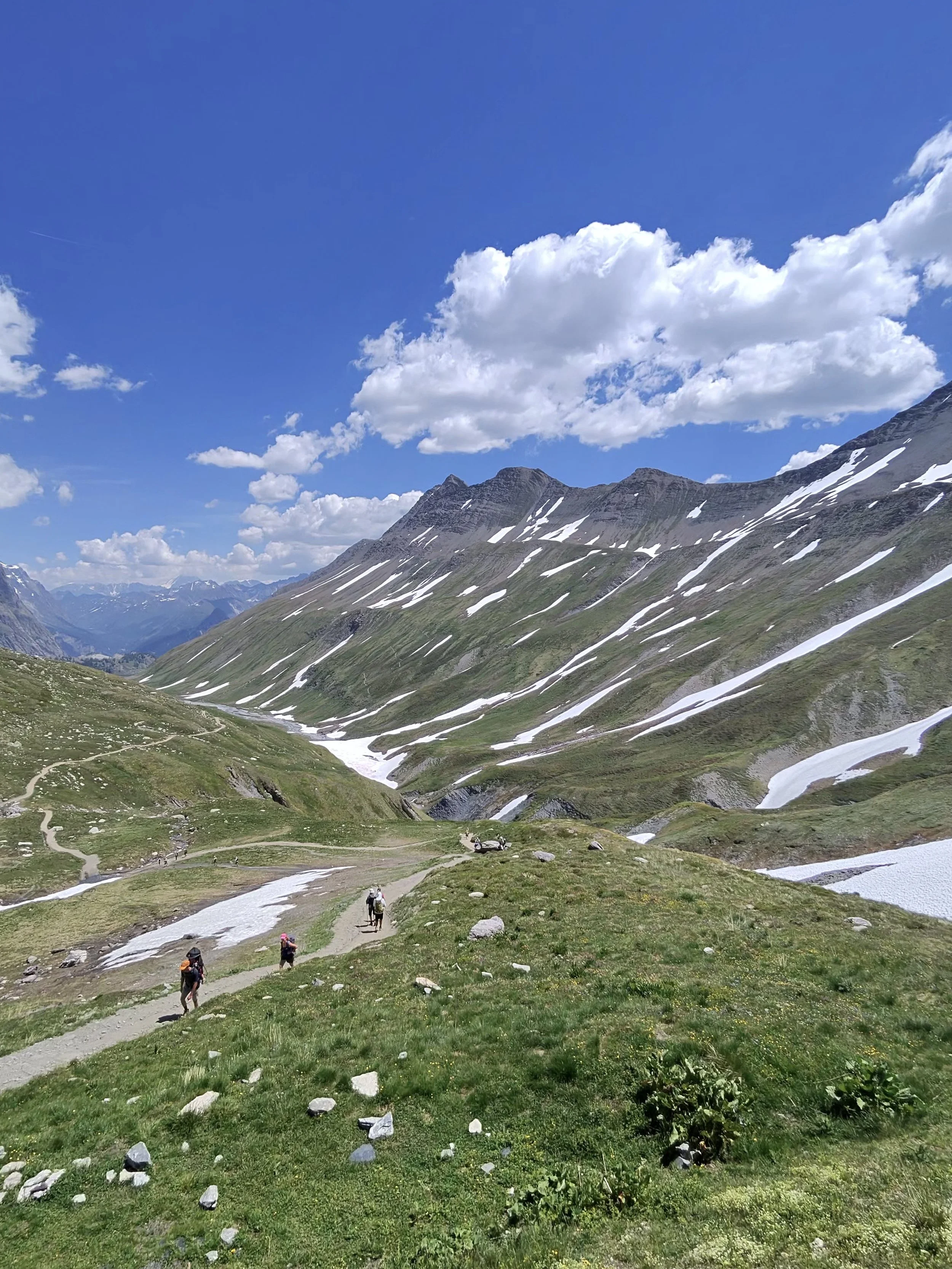
The climb started gradual. Early on, I turned around and saw the trail unspooling all the way back down to the parking lot far below. That kind of view, where you can see exactly how far your own feet have carried you, never gets old.
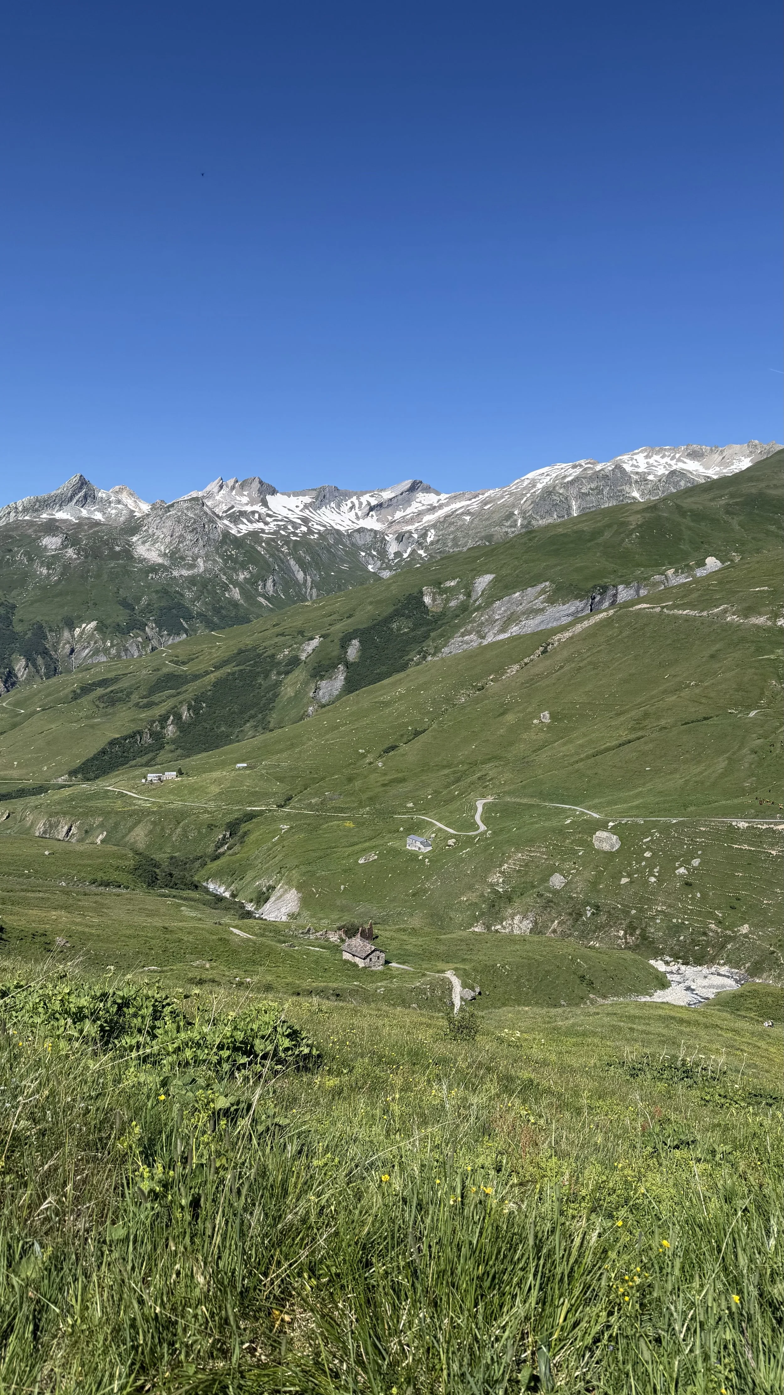
Looking back at the trail running all the way to the parking lot
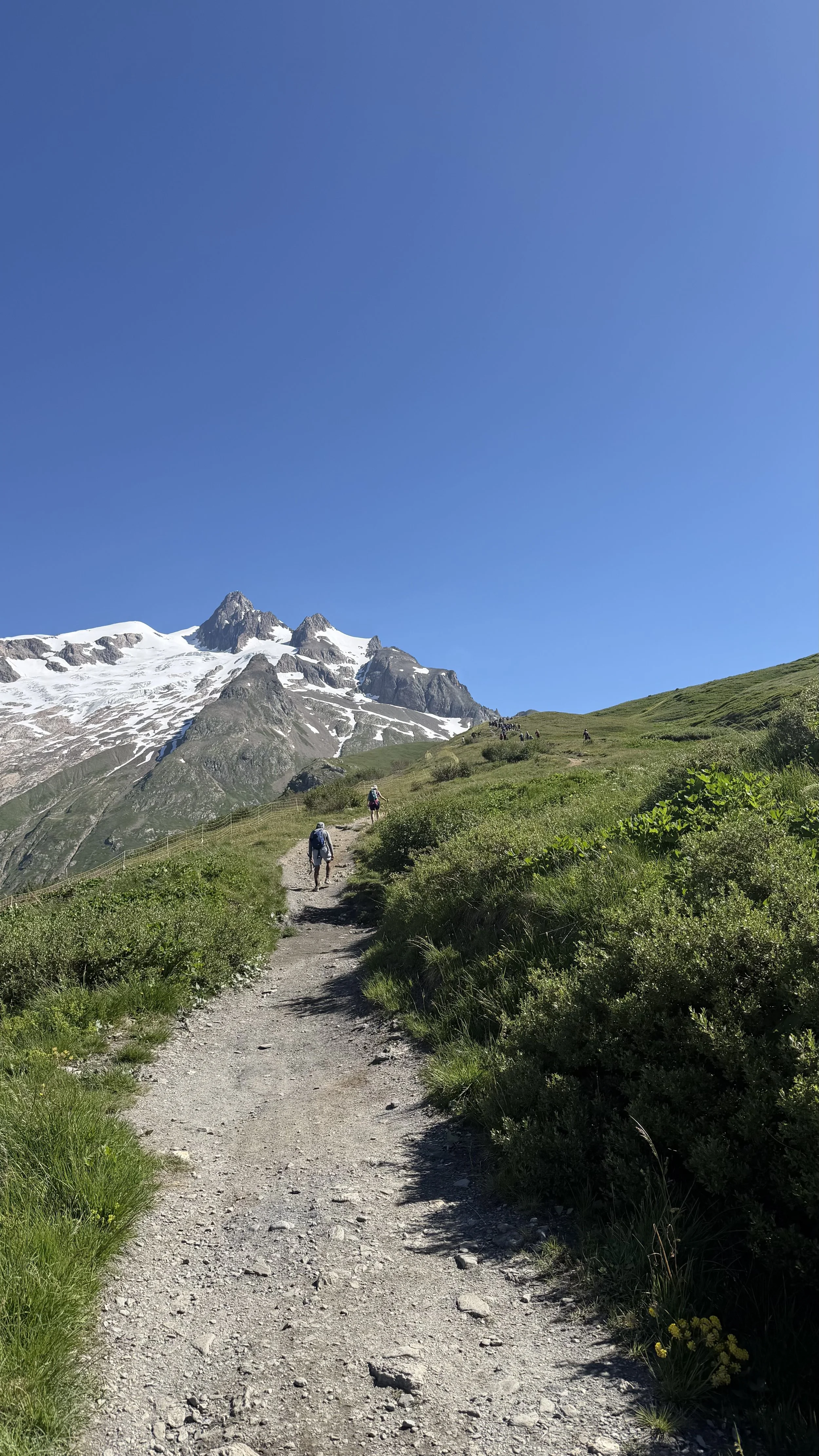
Here's what I'm holding onto from today. Every time a big incline rose up, I stopped looking at the top. The far-off summit only tires you out before you've taken a step. So I kept my eyes on the ground just ahead of my boots and let that be the whole world for a while. The climb stopped being a mountain and became the next few feet, again and again, until it was behind me.
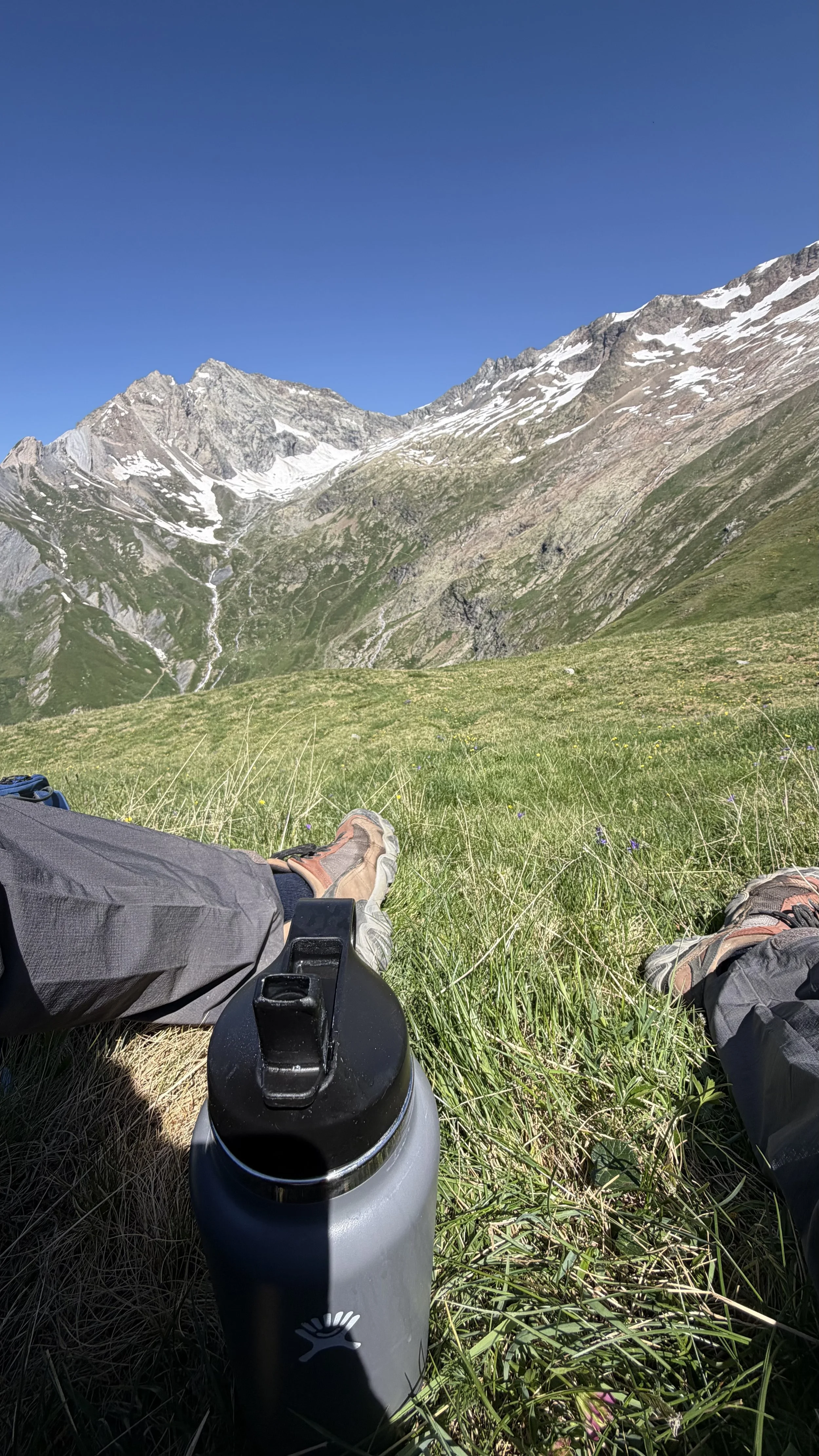
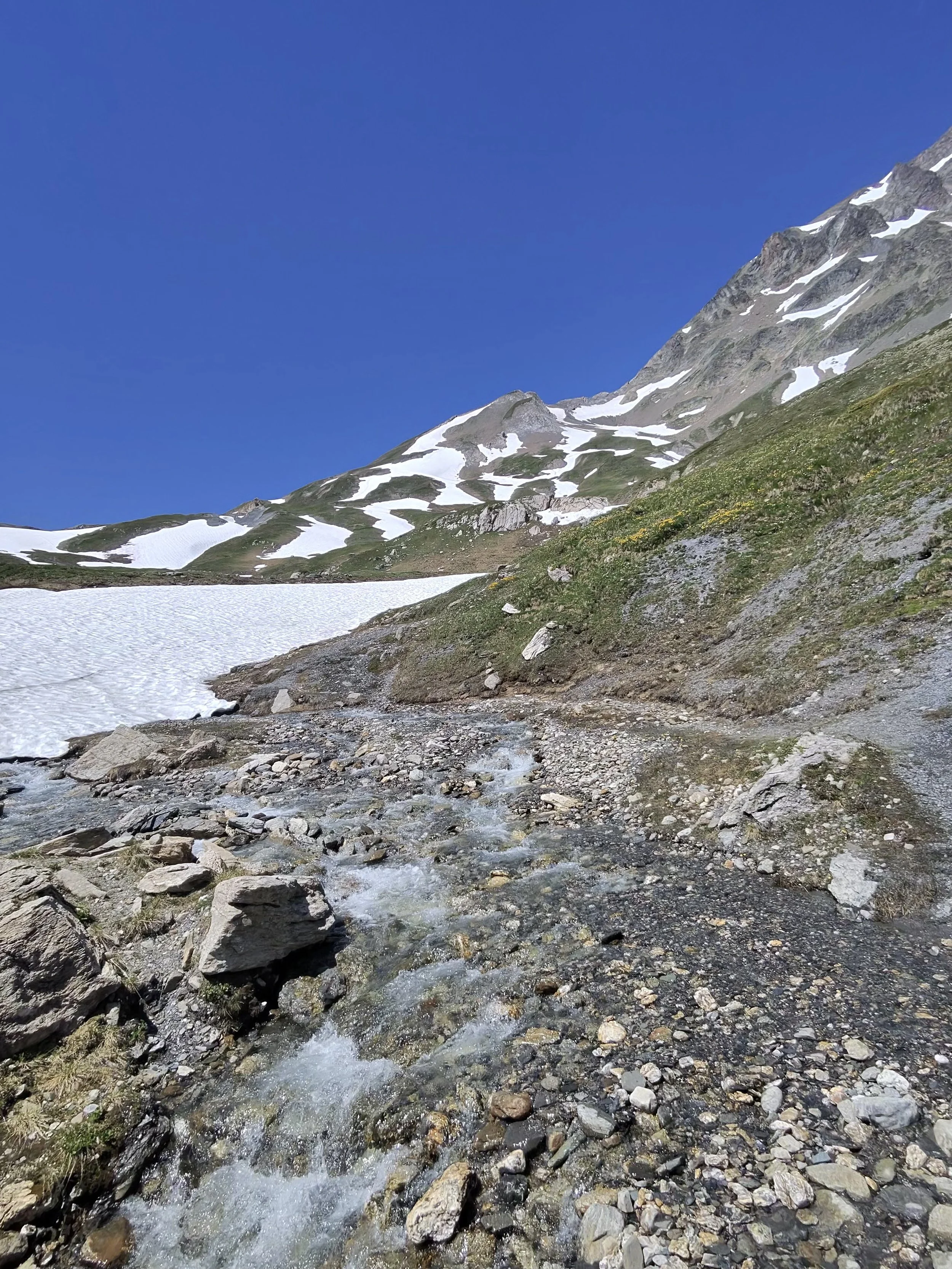
I'd learned about water the hard way, too. Today I kept a small bottle handy from the start and sipped constantly instead of waiting until I was empty, with a full bottle of electrolytes to keep me topped up.
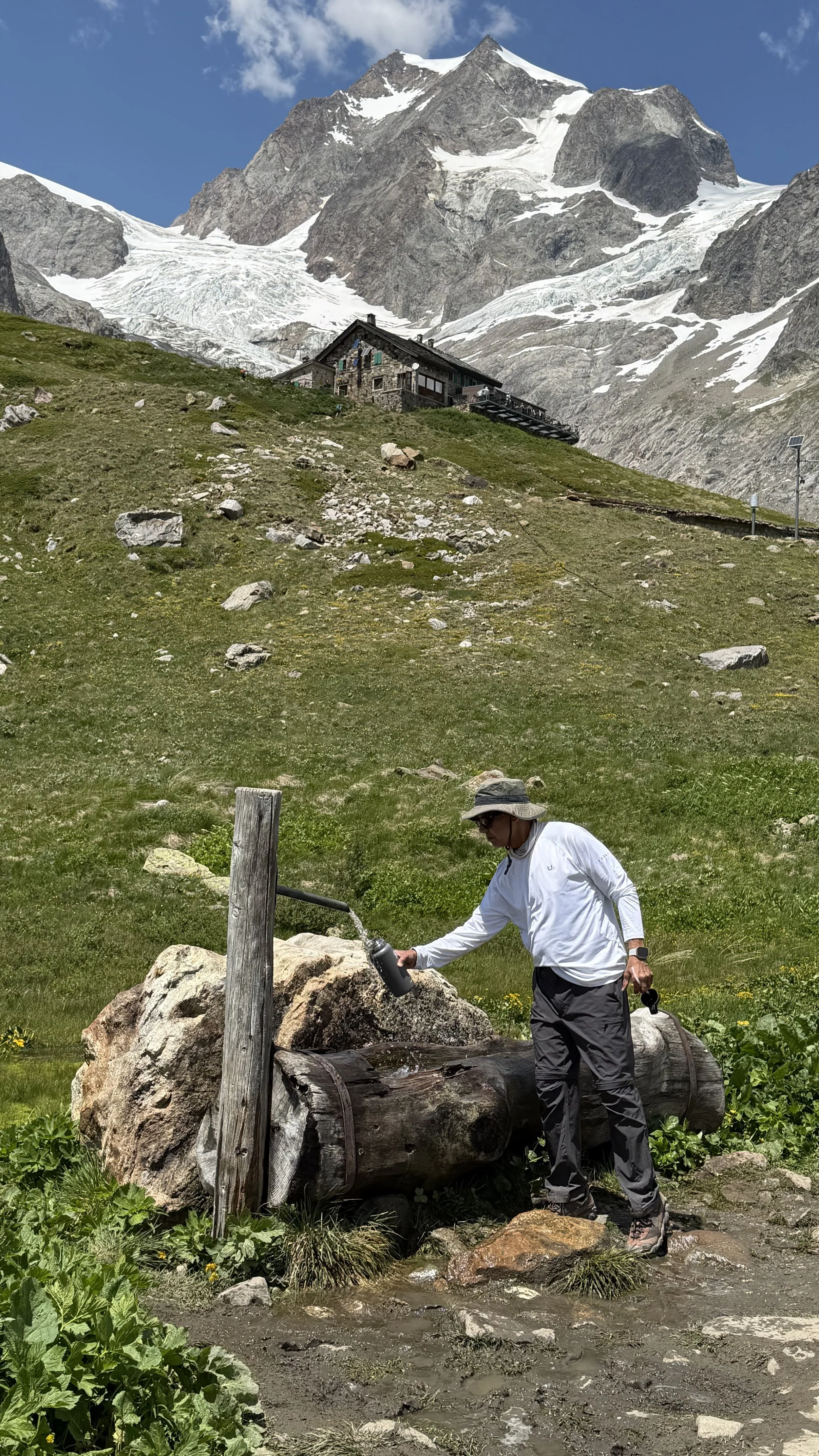
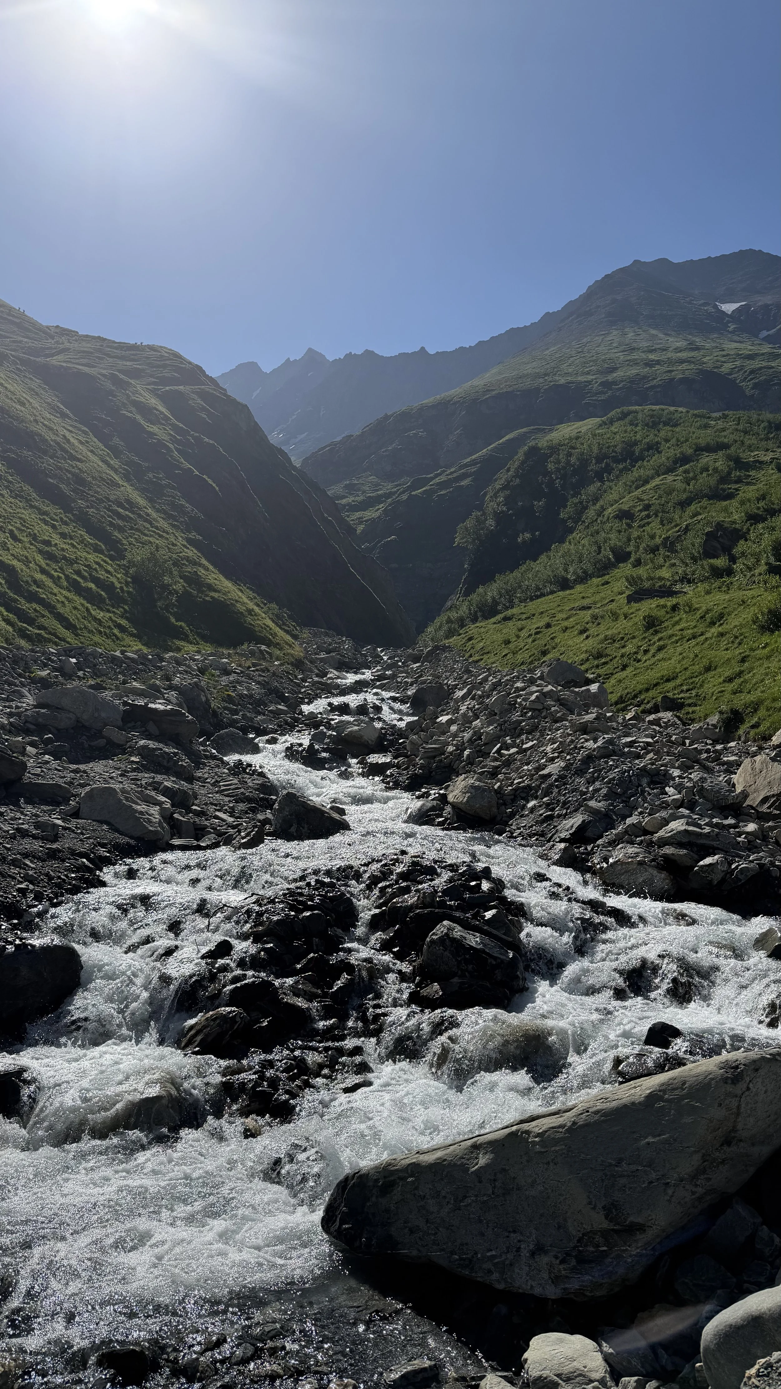
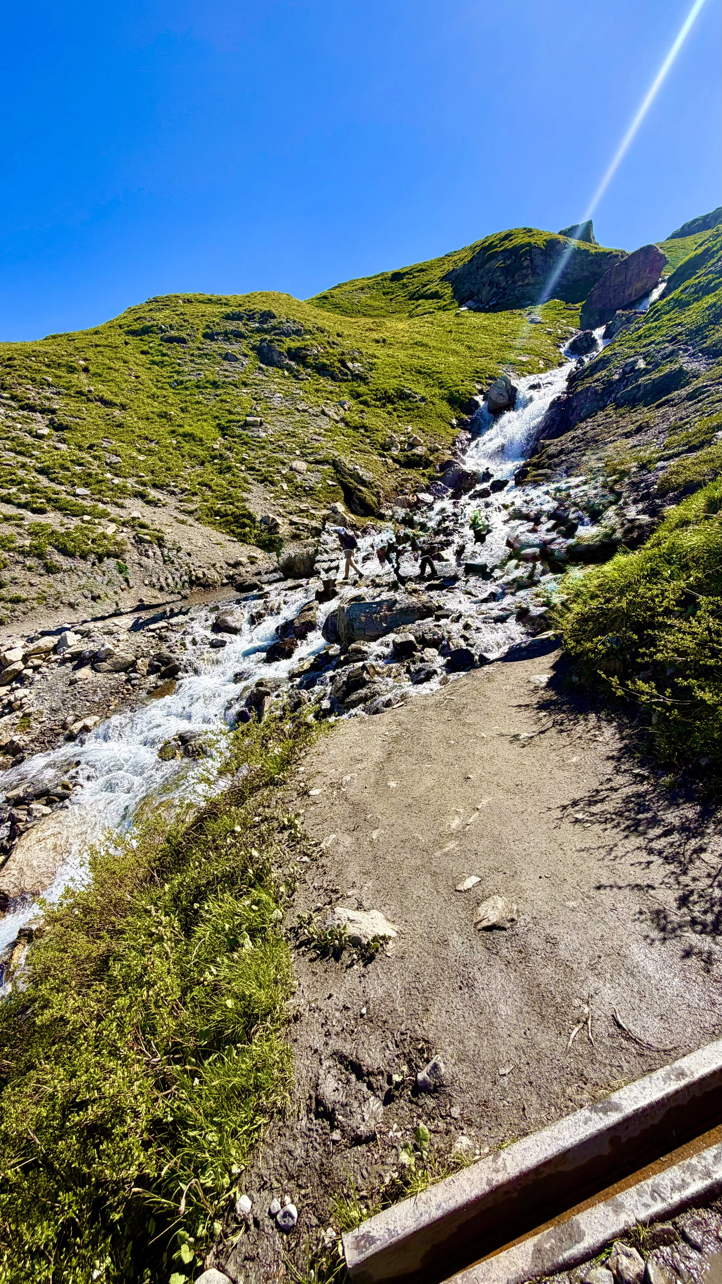
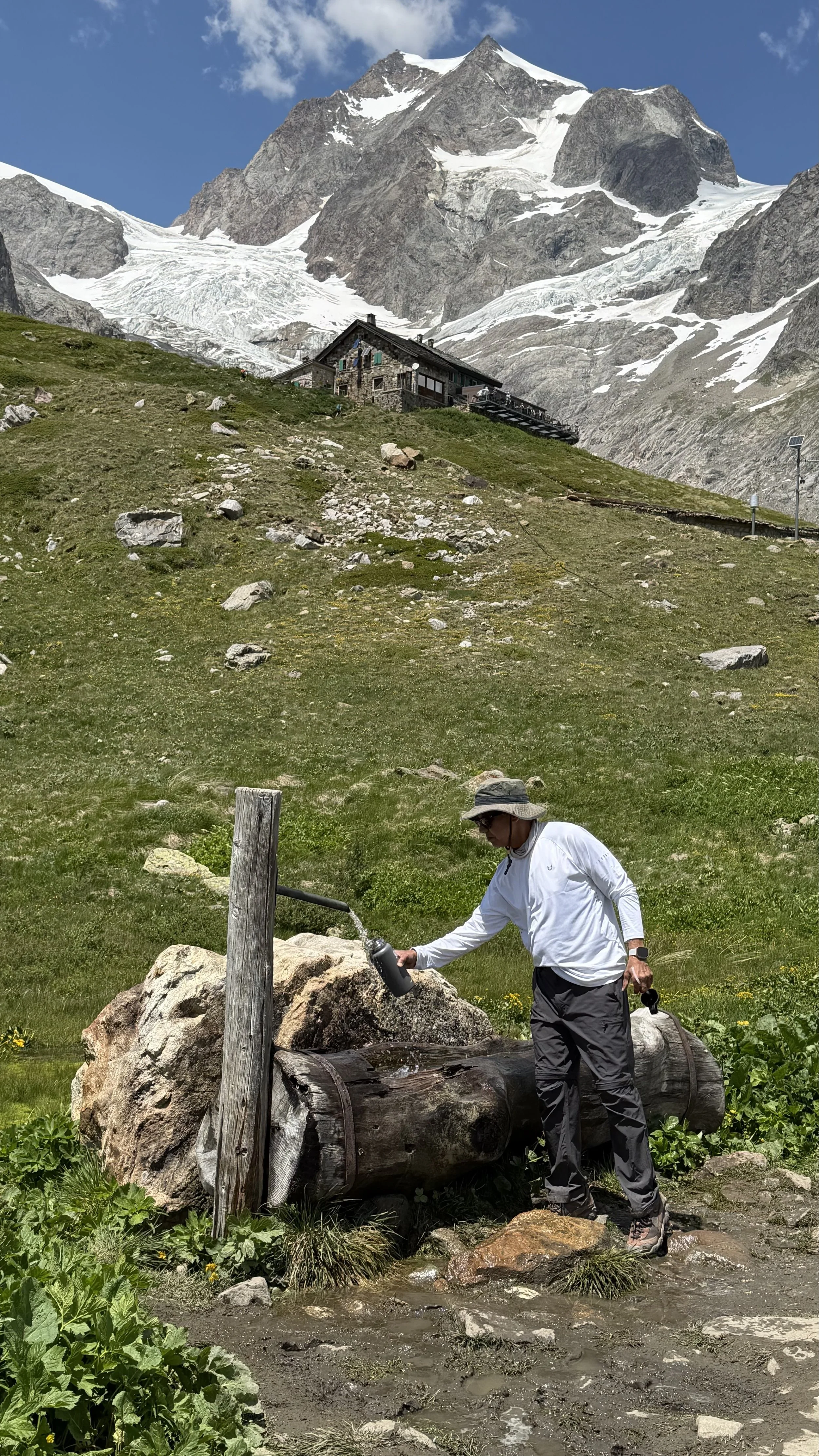
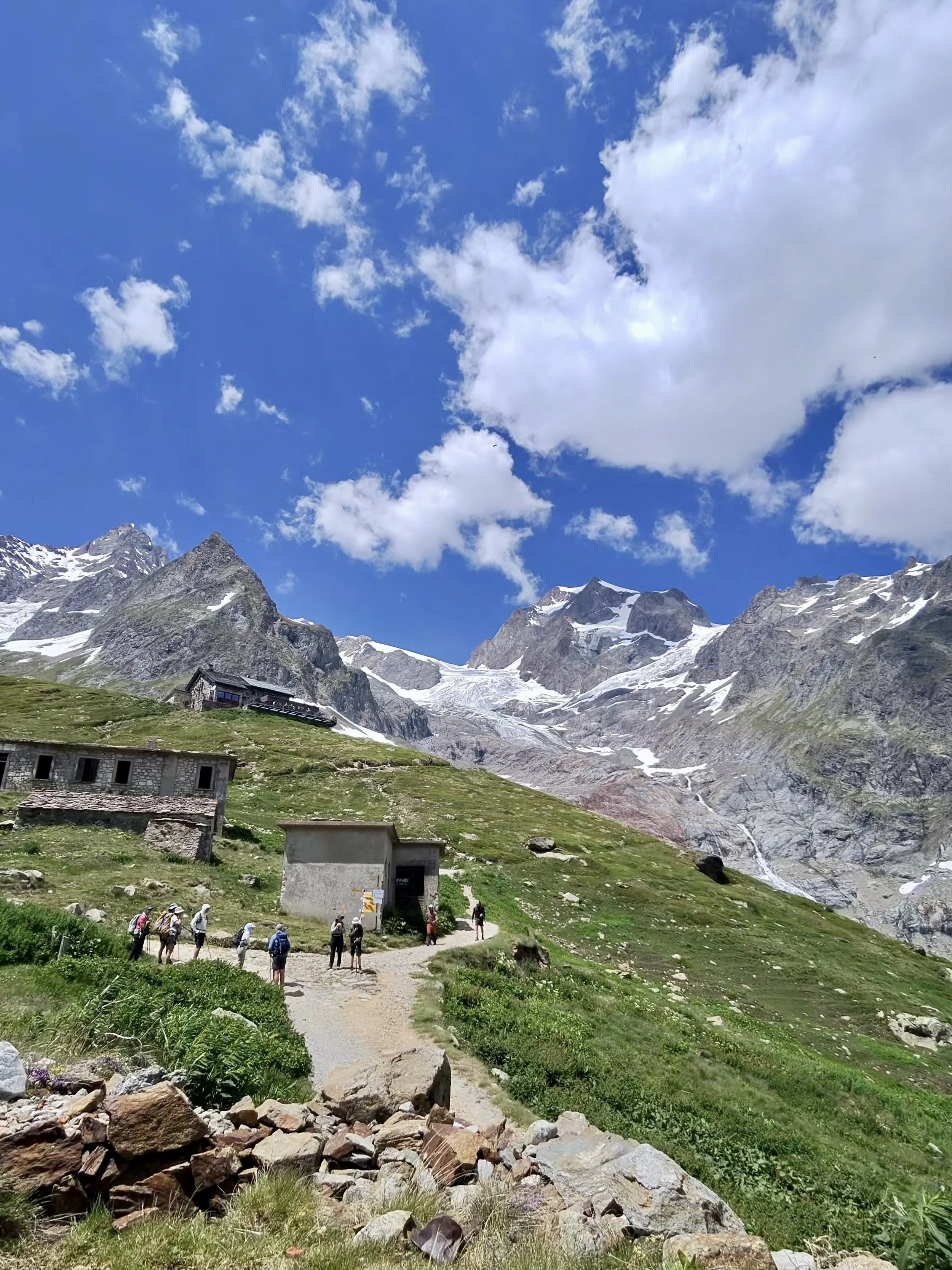
Topping off water at the fountain below Rifugio Elisabetta, the glacier above
The heat was brutal again, and I was soaked through. But as we climbed, a cool breeze would find us and make it bearable, then it would drop, and the sun would lean back into us. On and off like that, all the way up.
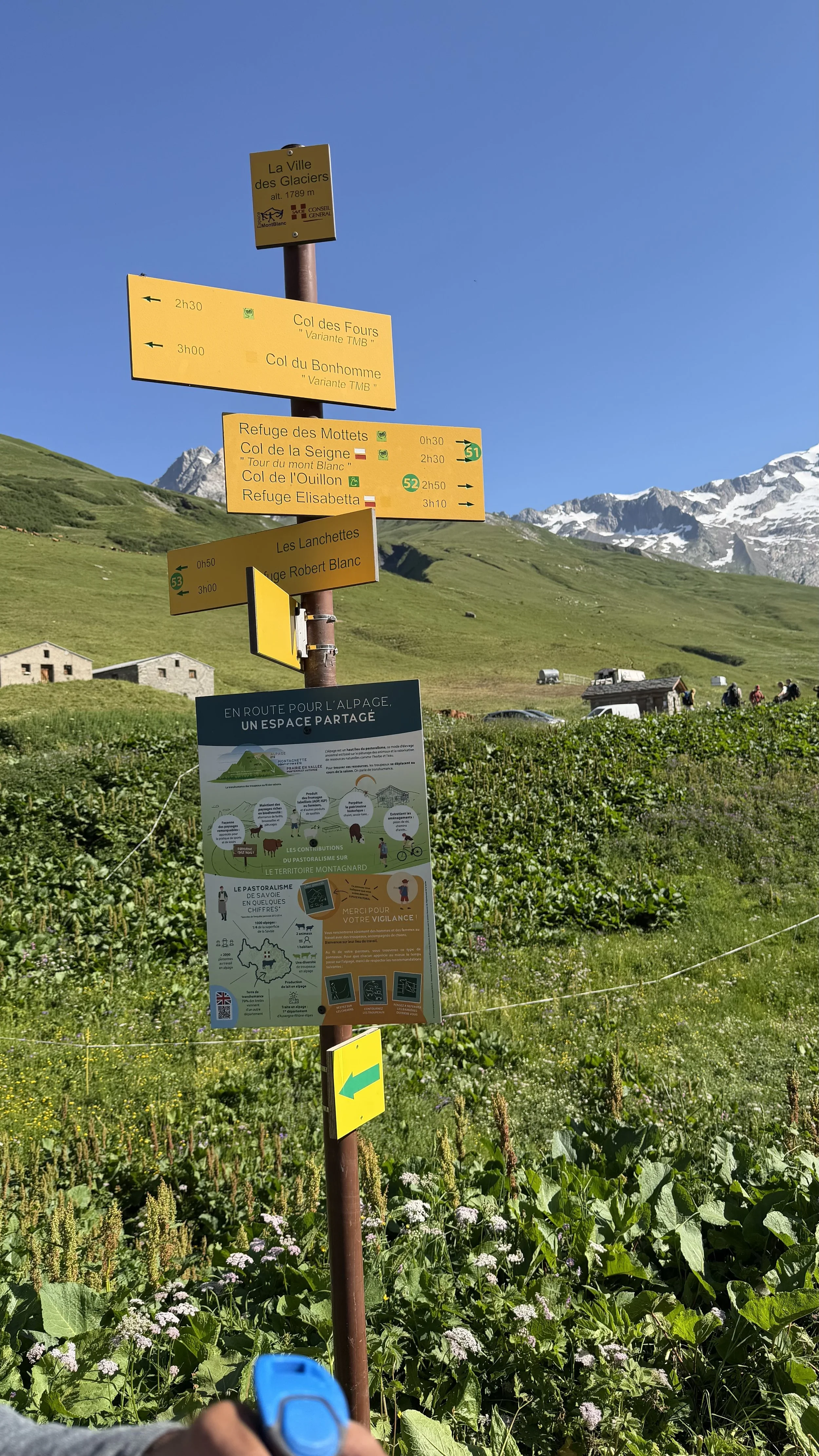
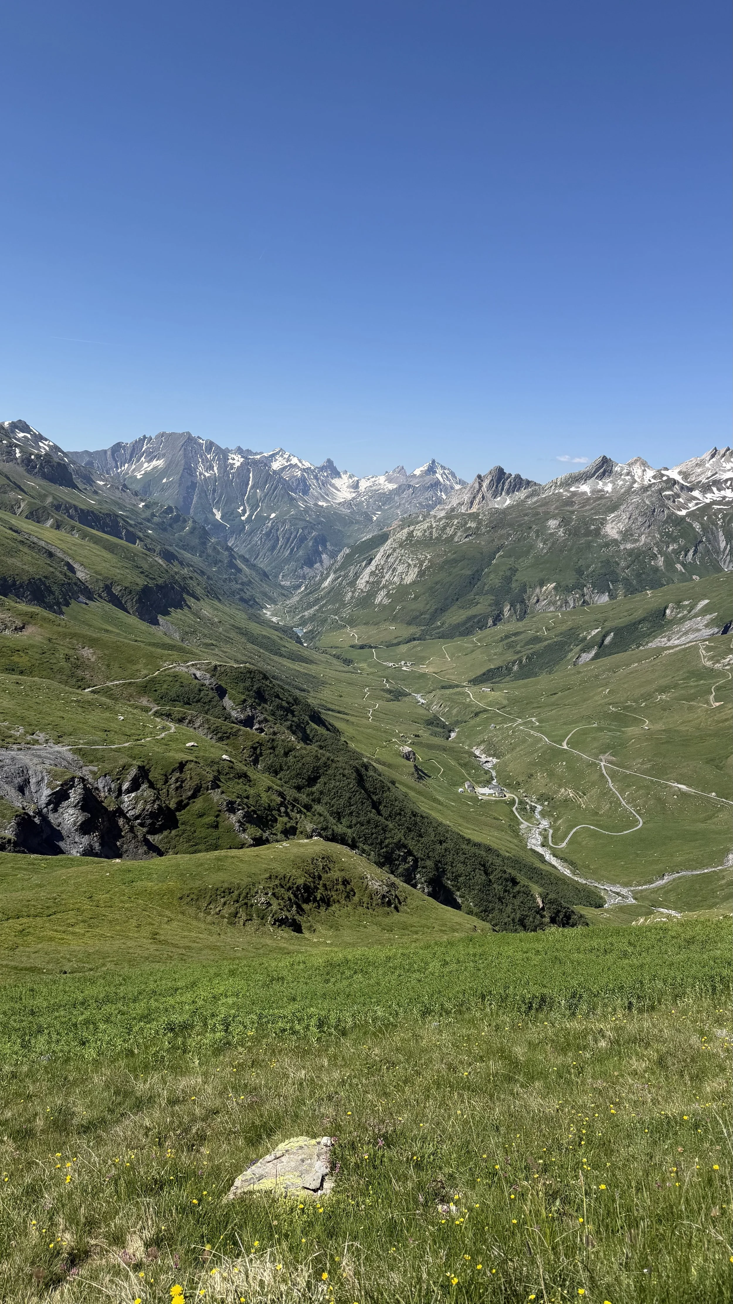
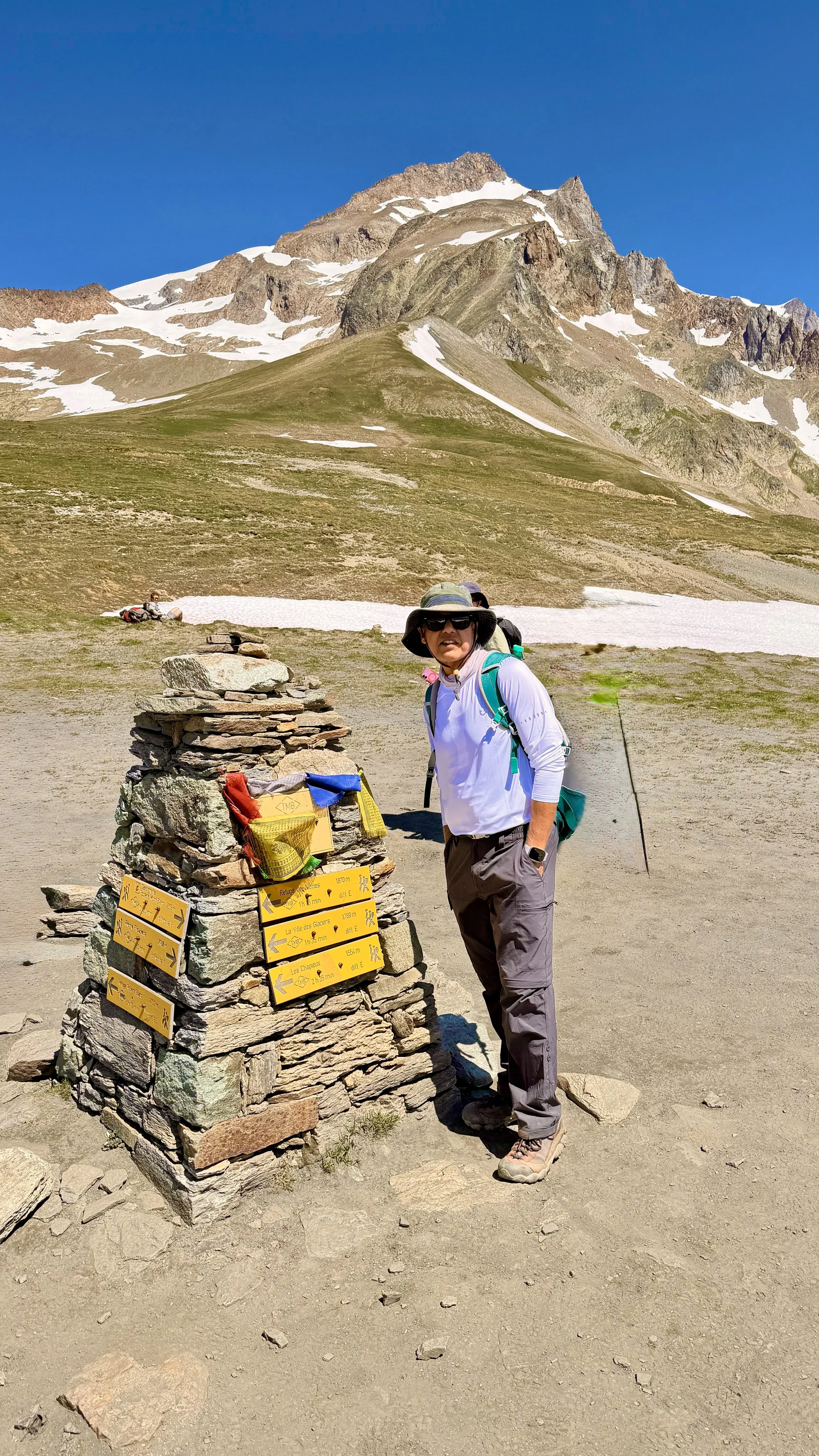
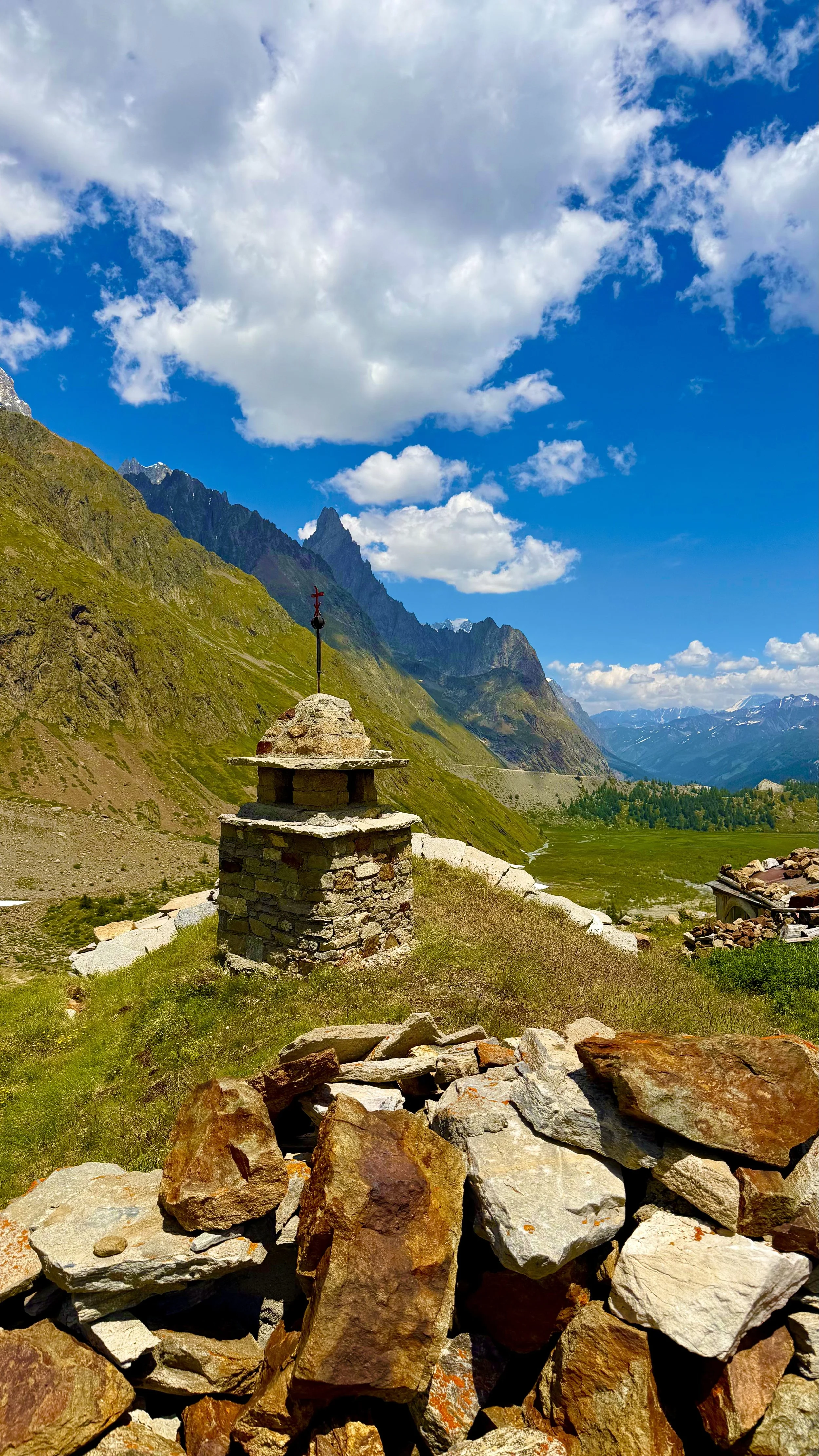
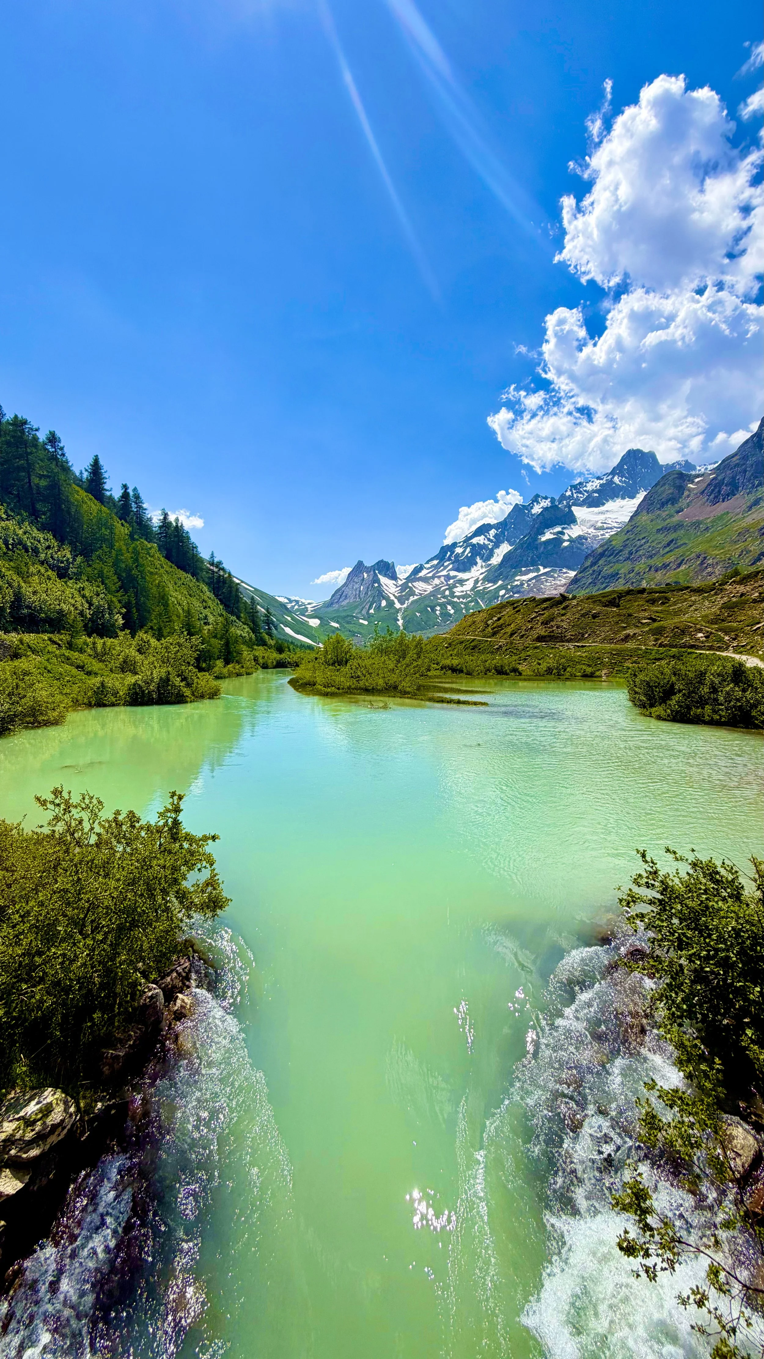
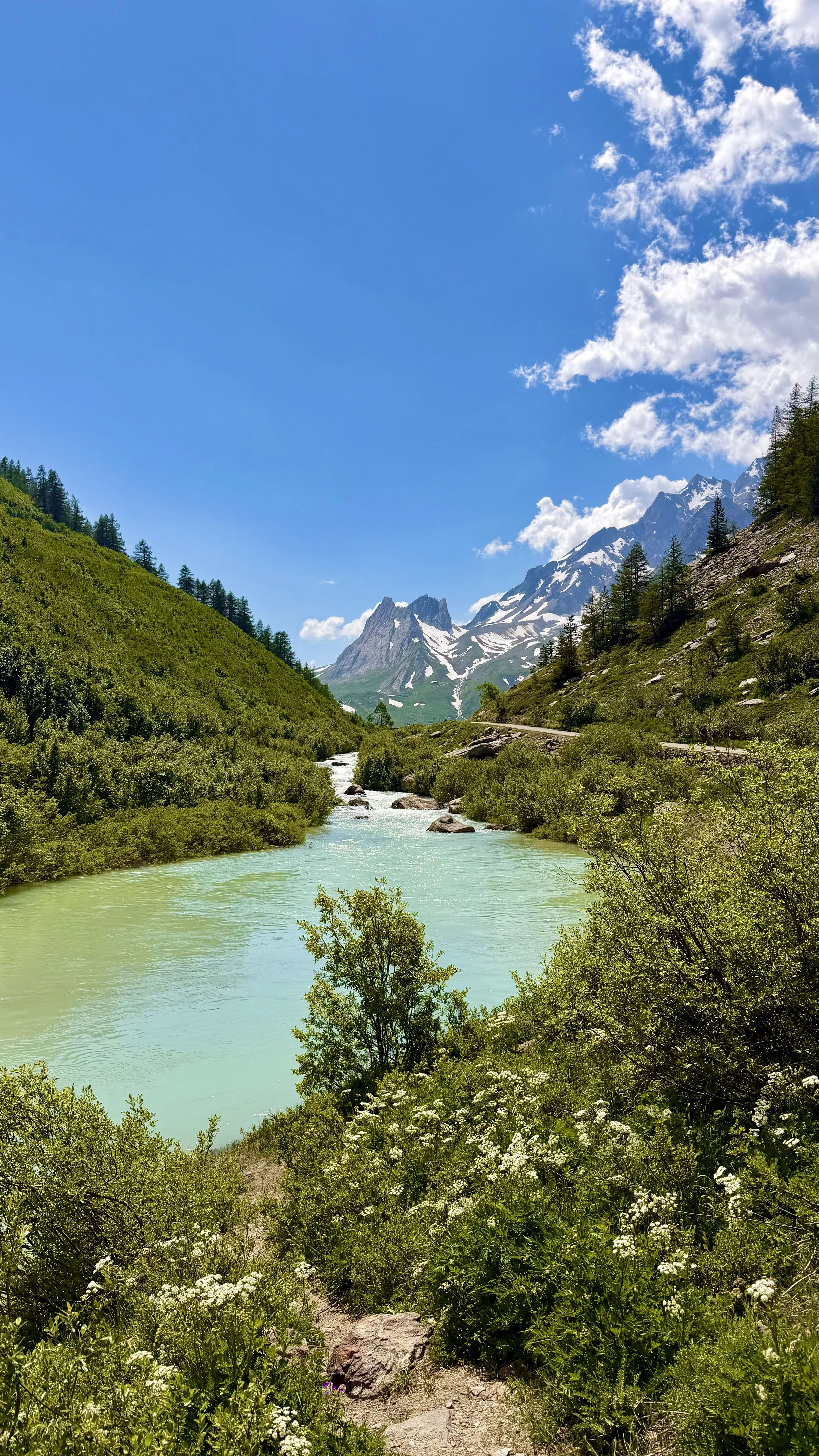
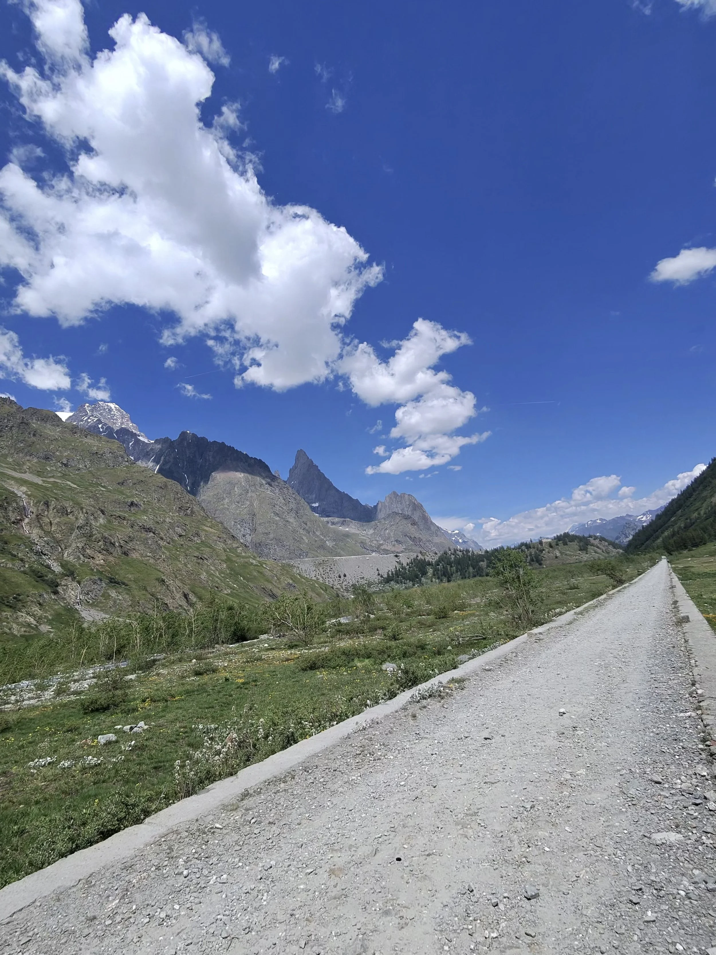
Then the col, and the border. We stepped from France into Italy at the Col de la Seigne, 2,512 meters. The descent into Courmayeur was long, about three thousand feet down. The knee held fine, but by the bottom my feet were aching. A shuttle carried us the last stretch into town.
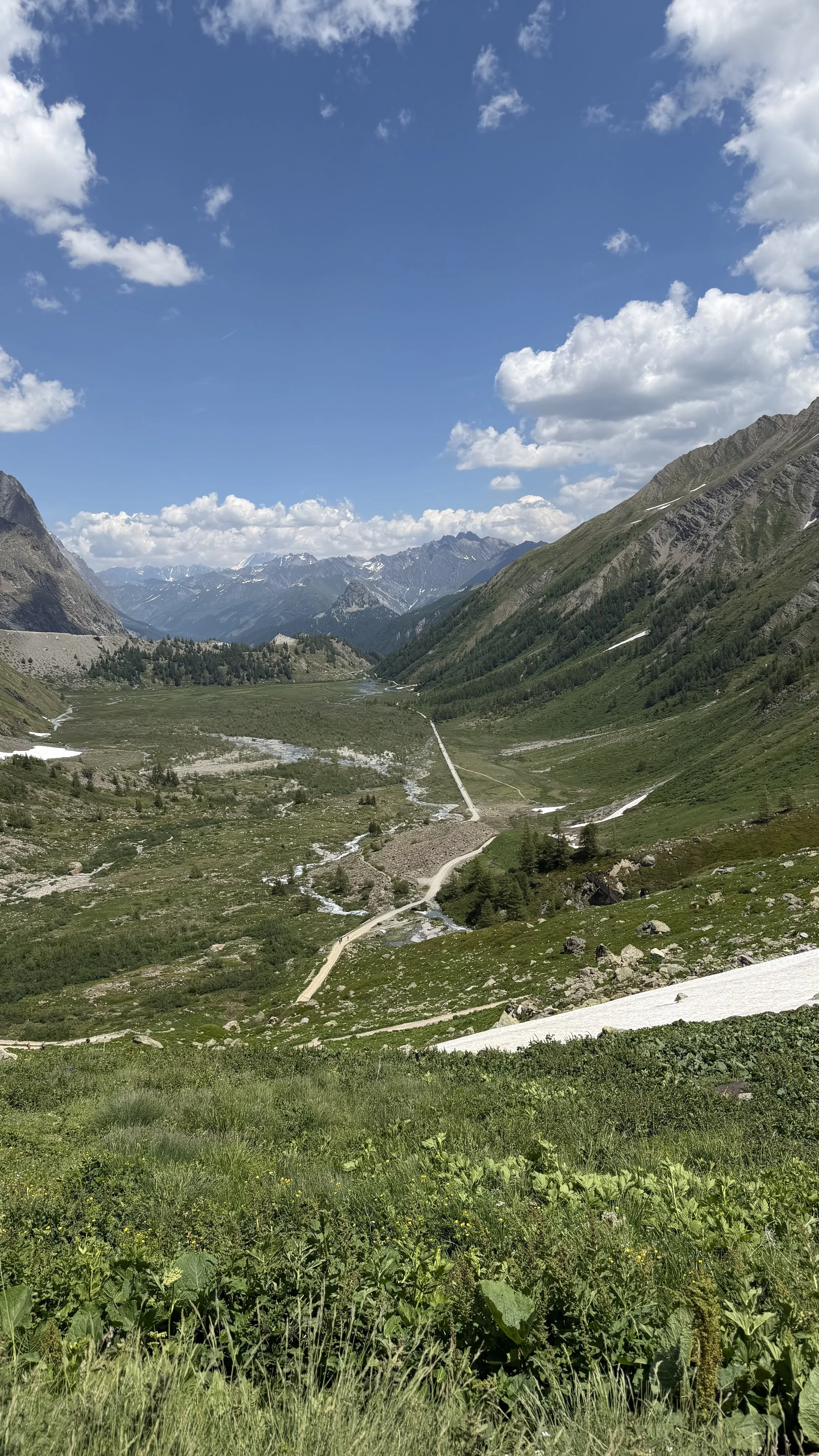
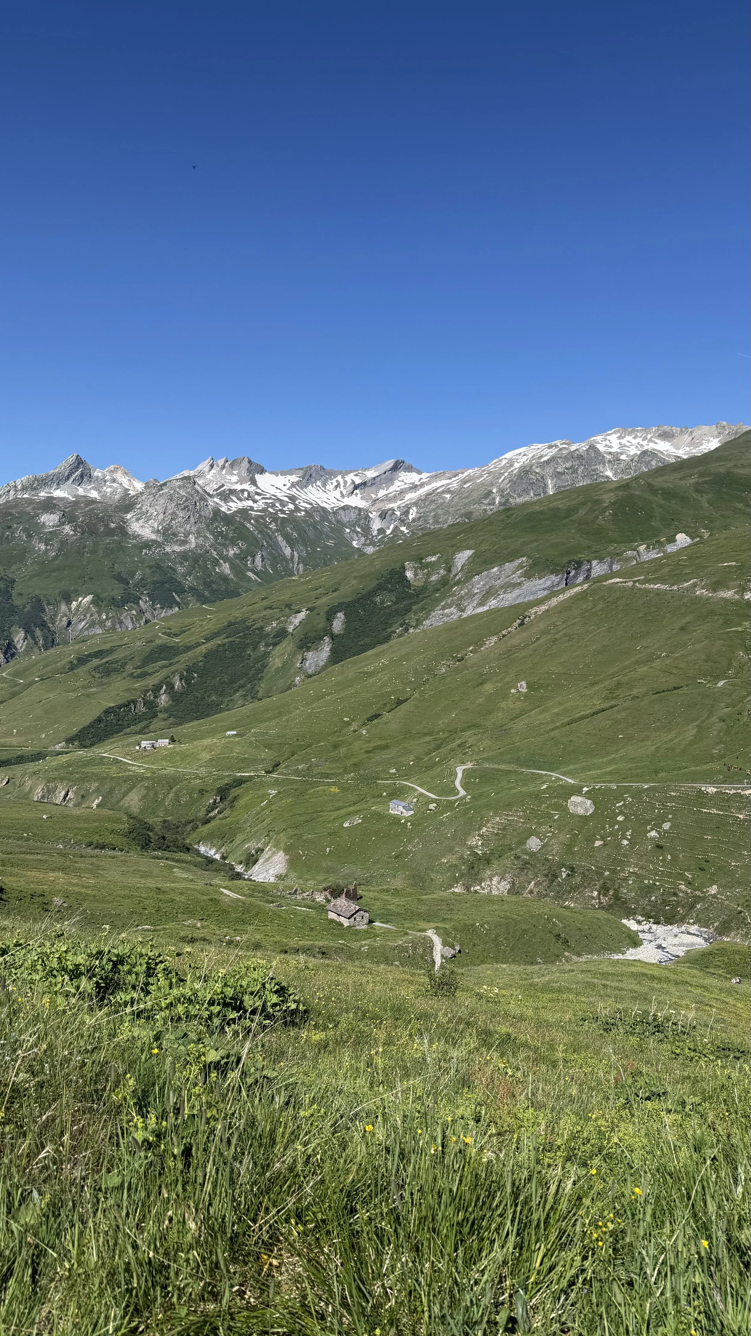
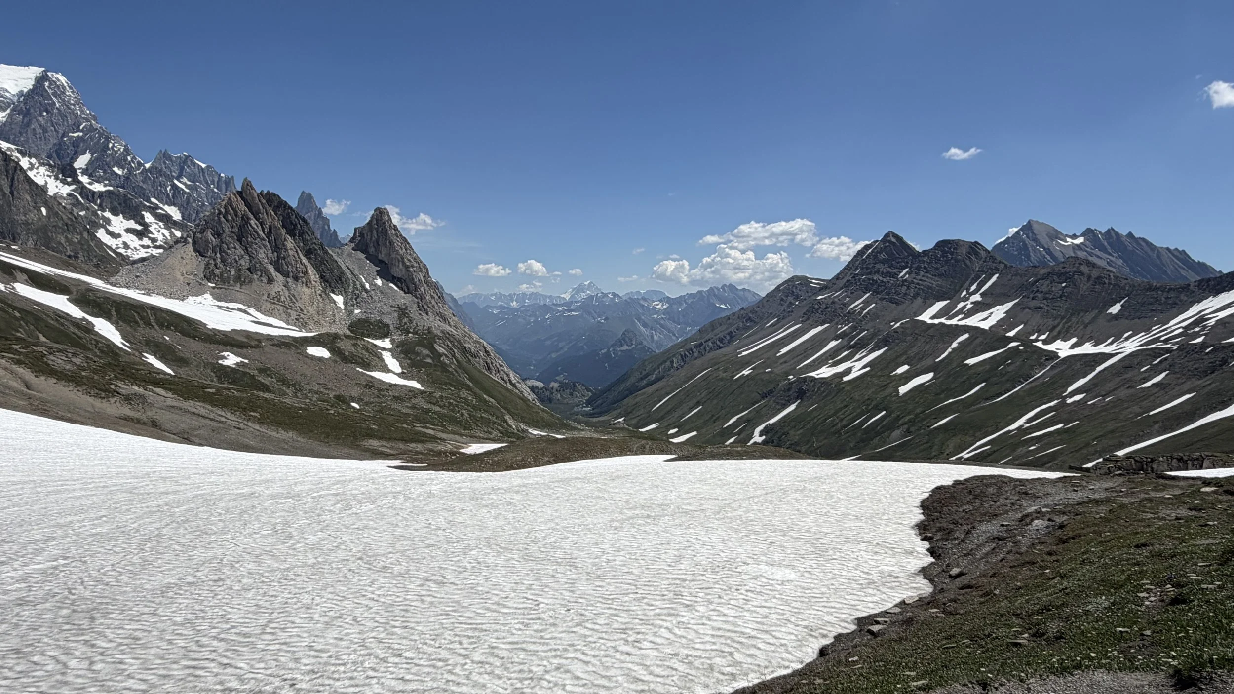
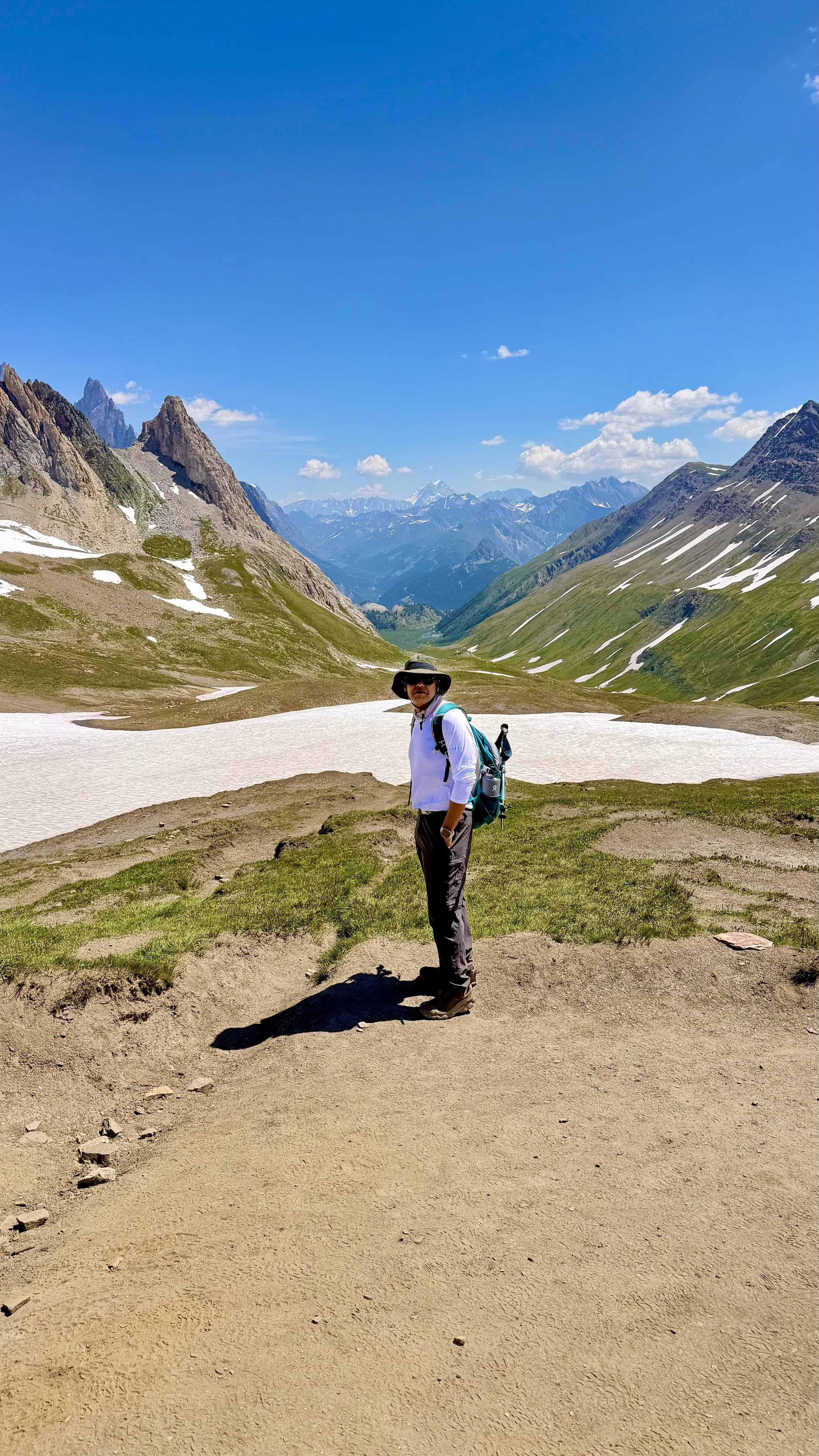
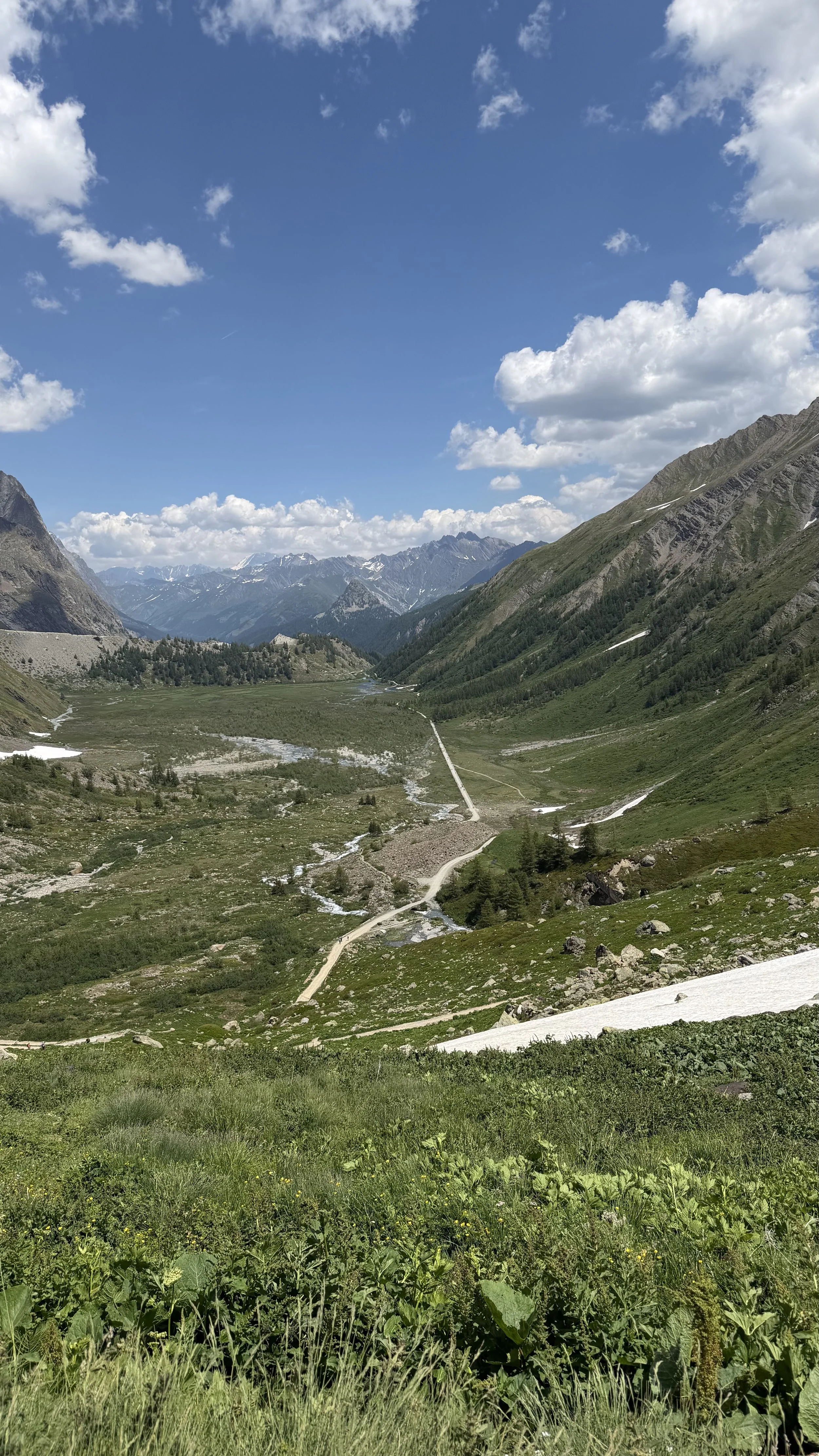
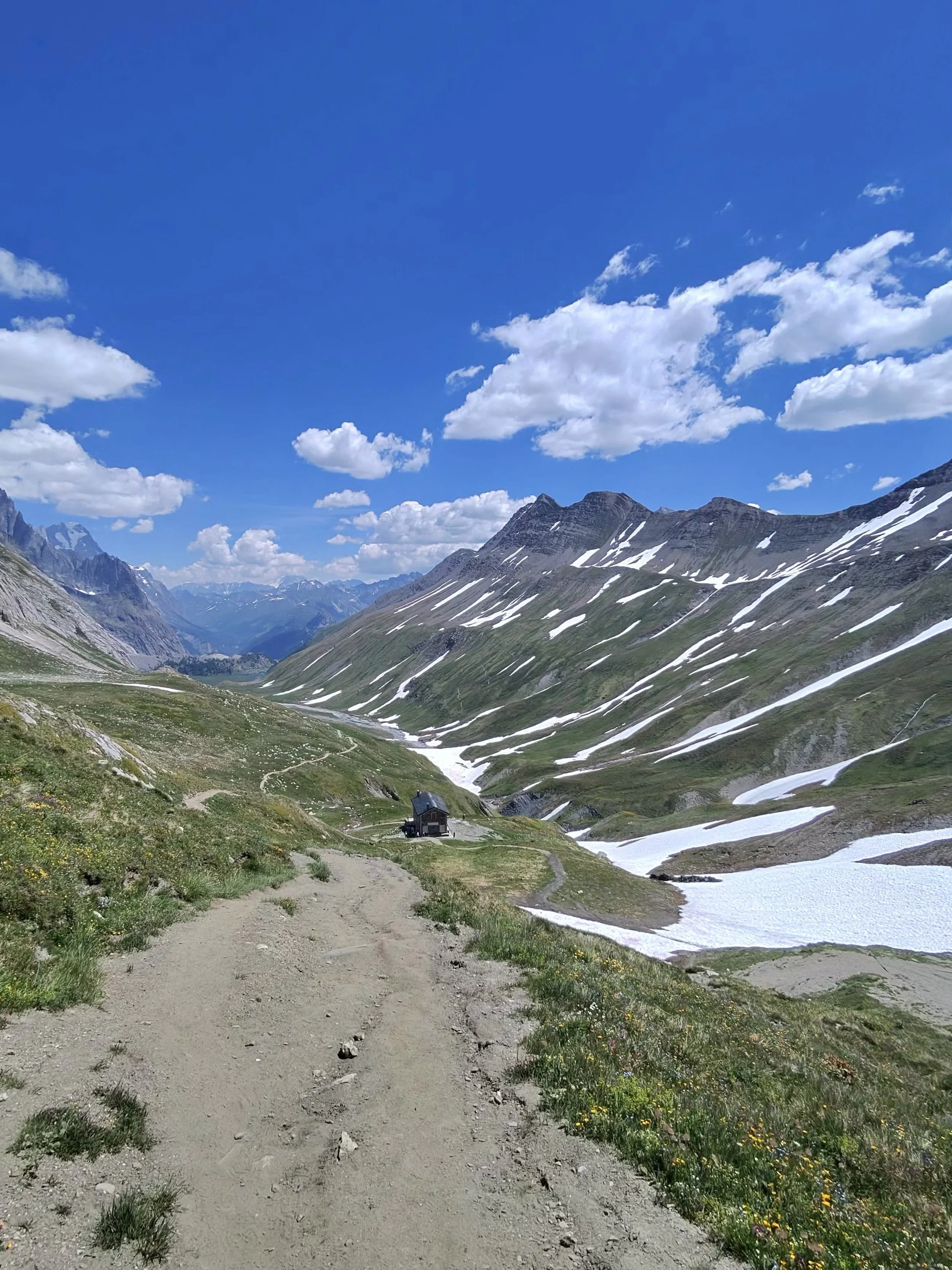
The long view down Val Veny toward Courmayeur
Trail Notes
Route: Ville des Glaciers → Col de la Seigne (2,512 m, France–Italy border) → Val Veny → Courmayeur.
Water: Sip early and often, plus electrolytes. Trailside fountain below Rifugio Elisabetta.
Food: Tuna sandwich and a baguette from the village bakery. Pescatarian-friendly.
Transfers: Morning taxi to Ville des Glaciers (prepaid). End of trail, the Val Veny shuttle (Bus 931, free in summer 2026) into Courmayeur.
Descent: About 3,000 ft down. Knees fine; feet sore.
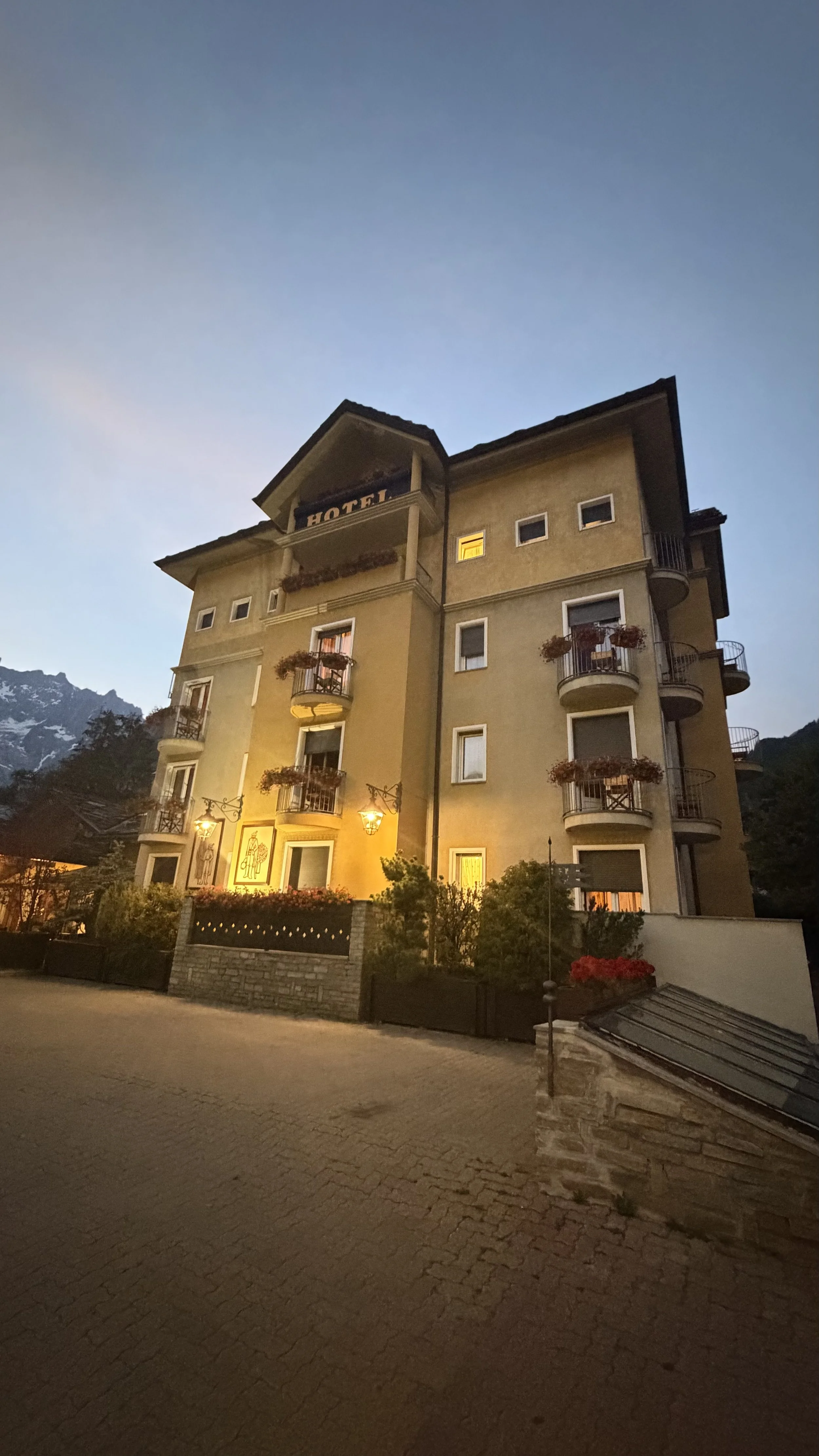
Where we stayed: Hôtel Bouton d'Or, Courmayeur (two nights, including the rest day).
The watch said: 10.21 mi · +2,838 ft · 6h29 moving · avg HR 123 · 2,021 cal.Planning your own TMB Stage 2? Read the practical guide: TMB Stage 2 Guide: Ville des Glaciers to Courmayeur