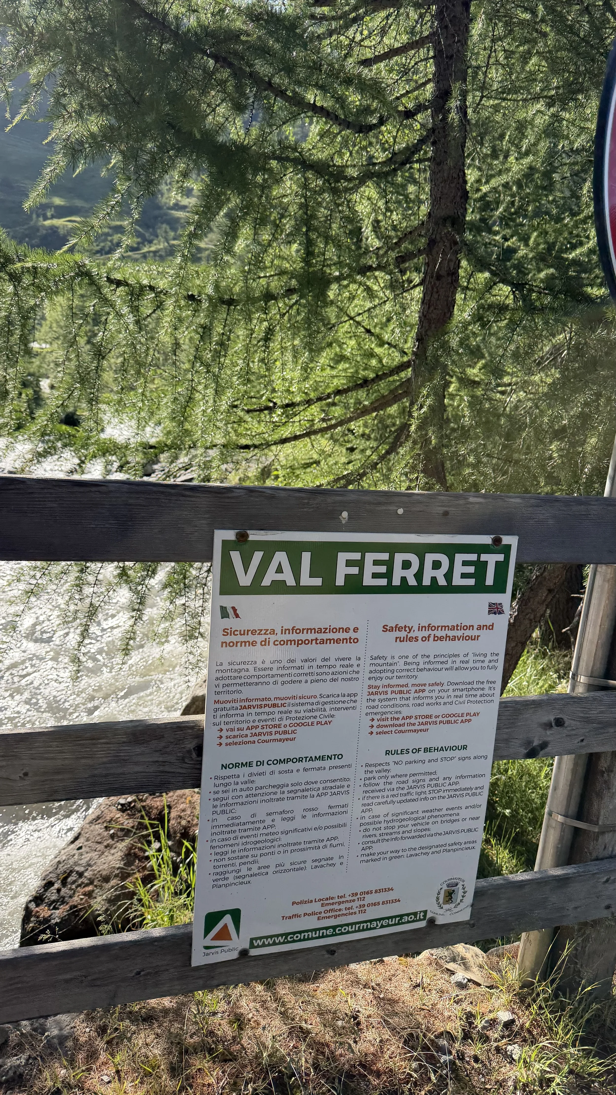
Stage 4 — Courmayeur to Champex-Lac
Over the Grand Col Ferret, the high point of the whole trek, and out of Italy into Switzerland. The best-feeling day yet.
At a glance · 10.0 mi · +2,606 ft · high point Grand Col Ferret (8,324 ft, trek high) · moving 5h30 · hard
The plan had been to take the bus up the valley to the trailhead. We dropped it, word was the peak-hour runs were packed full, and split a taxi instead. Seventy euros, and worth every one.
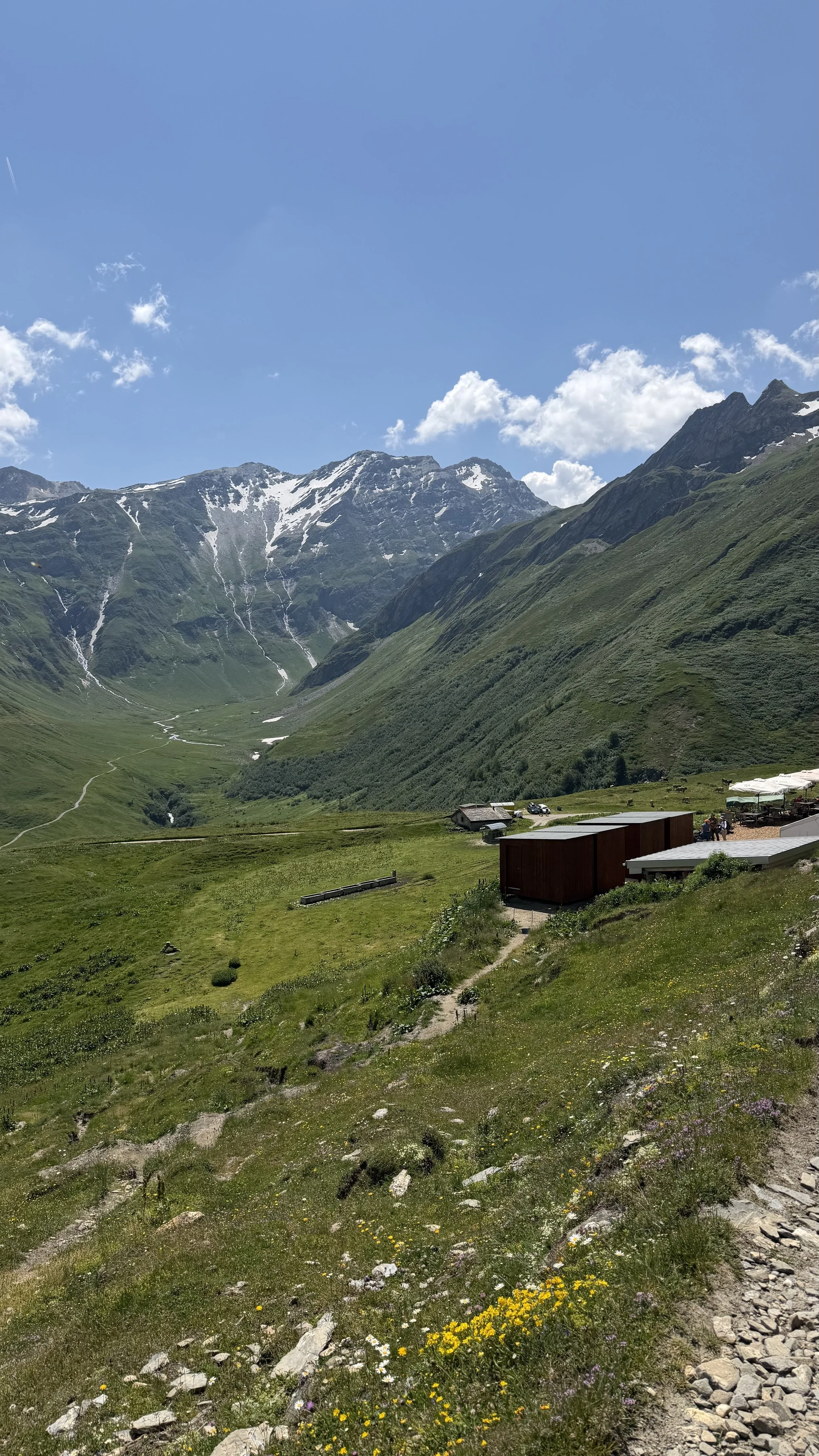
The forecast had promised rain. Instead the day broke sunny and beautiful, cooler than the furnace days behind us, and the rain held off the whole way.
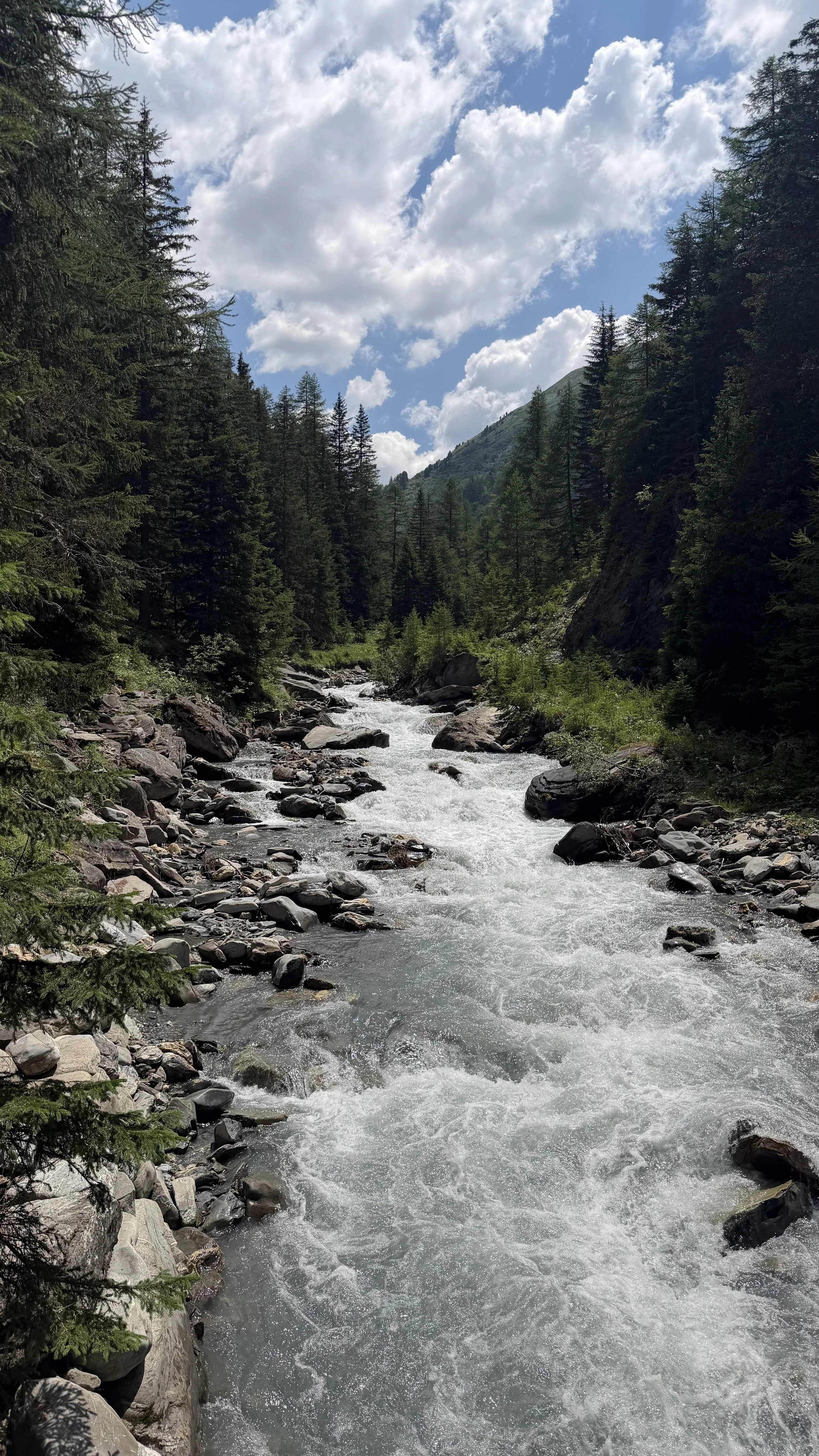
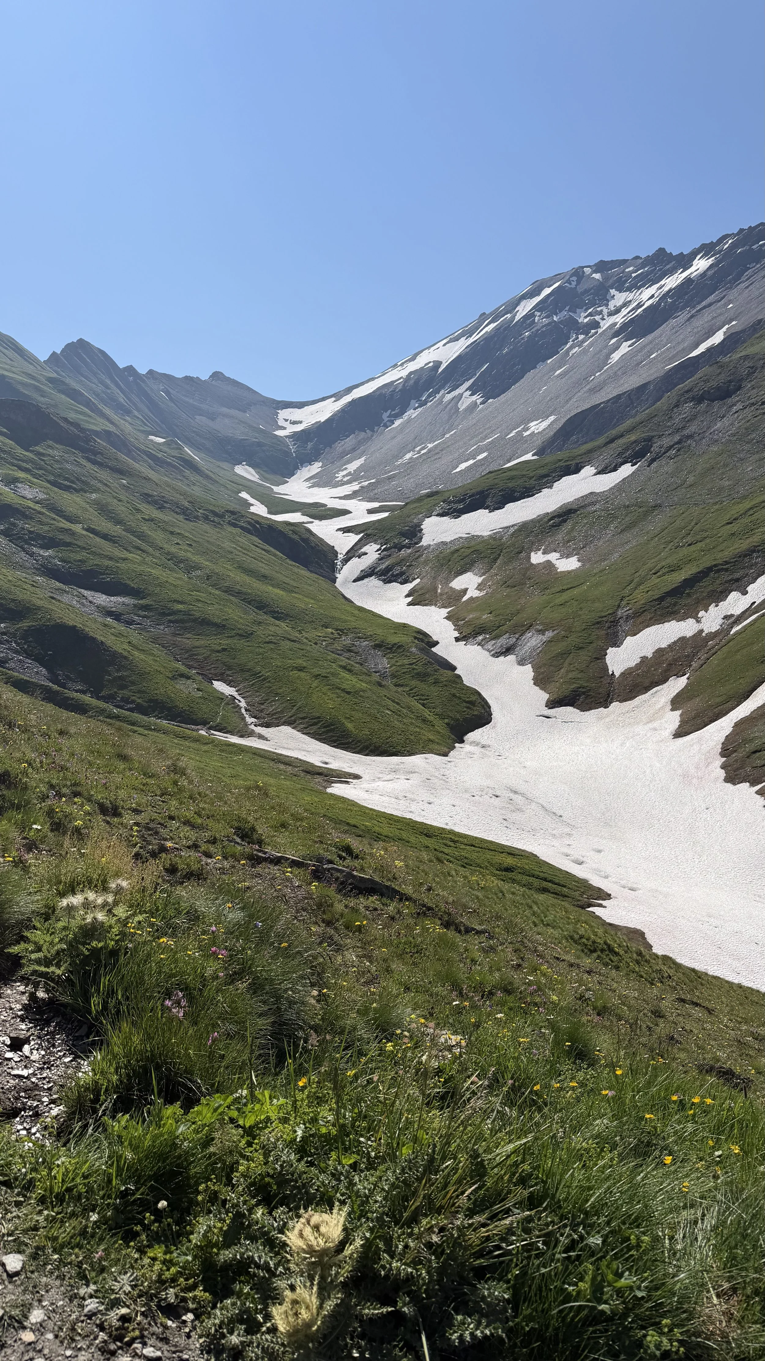
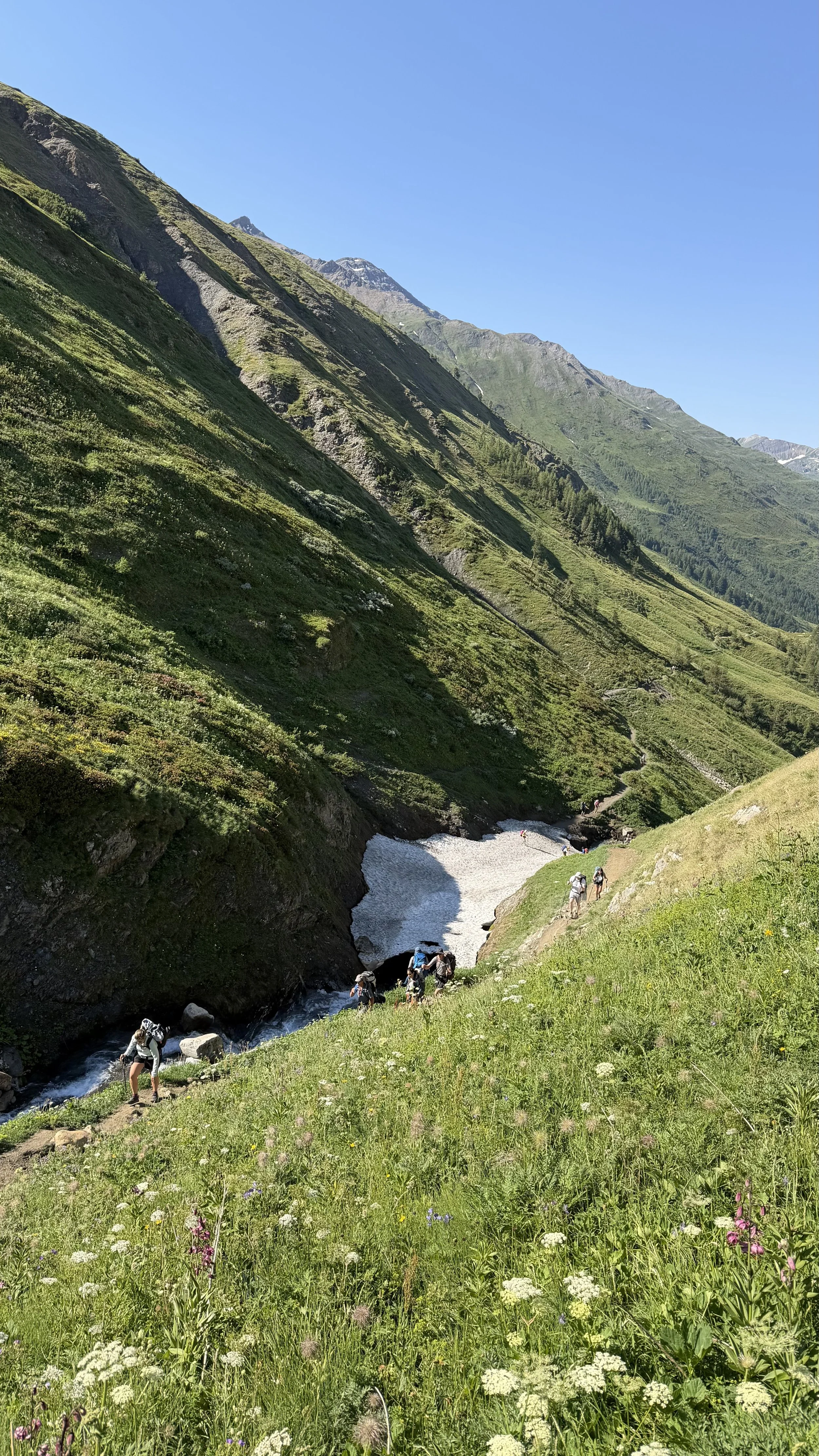
The snow was the day's test. Warm air had turned it slushy, and the worst of it was a patch by the creek, soft and slick underfoot. We crossed it slow and deliberate, slipping and sliding a little, and came out the other side.
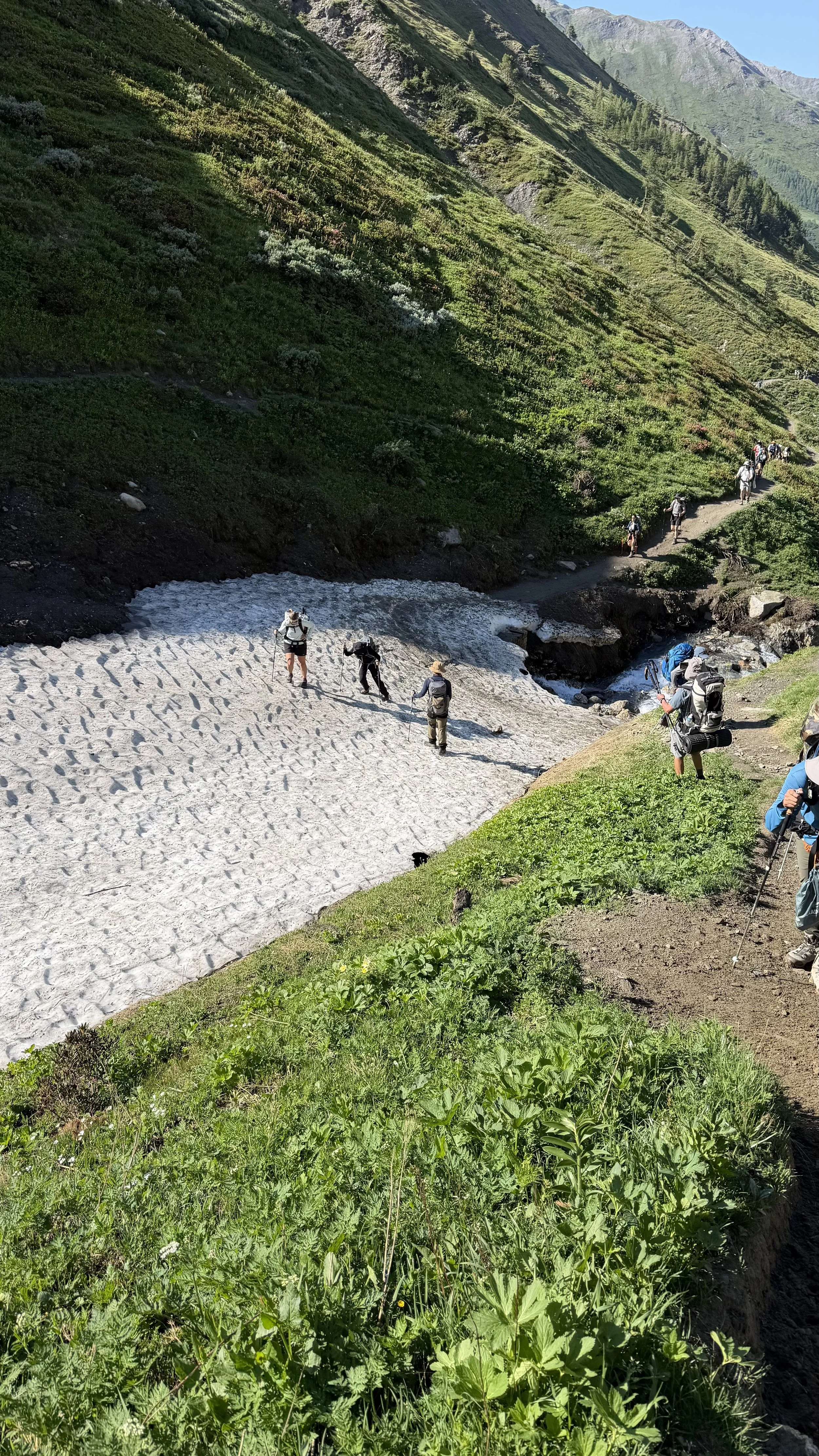
The group crossing a snow patch on the climb up the Italian Val Ferret
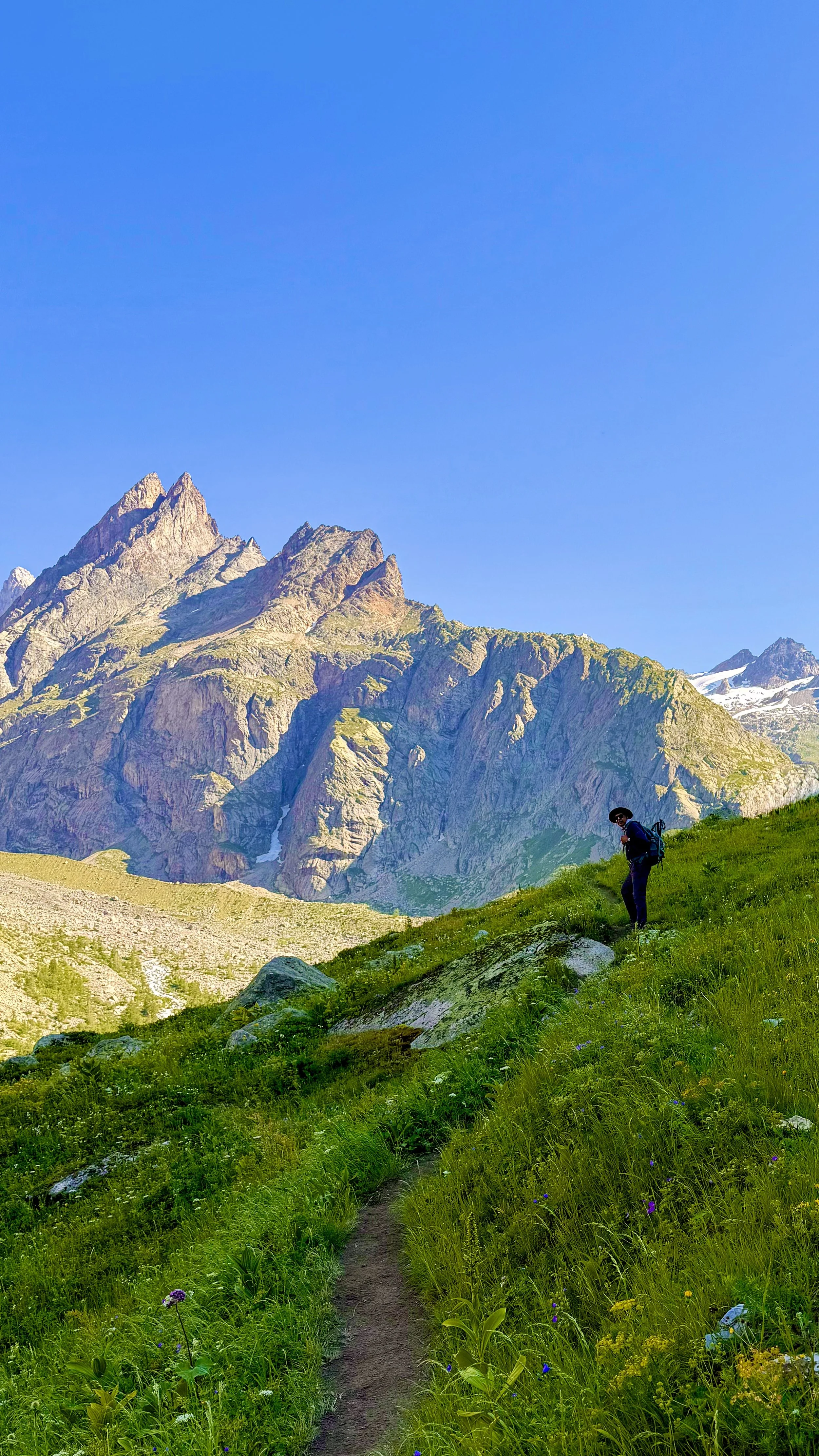
The climb to the col is where the practice pays off now. When my heart starts hammering on the steep, high stretches, I lean on the breath, and the pitch that used to feel like a wall turns into something I can just walk up. It's easier than it was a week ago, and I don't take that for granted.
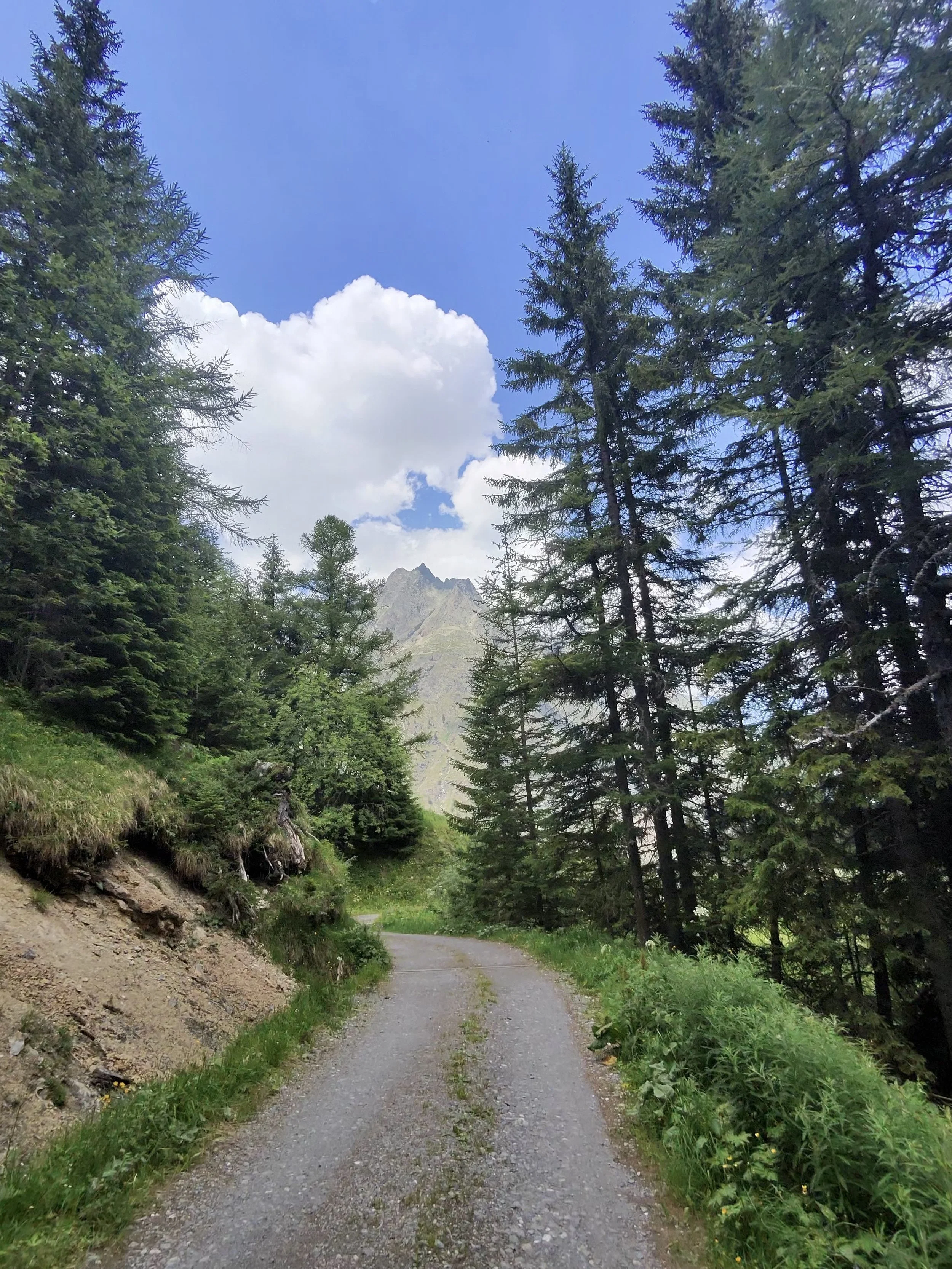
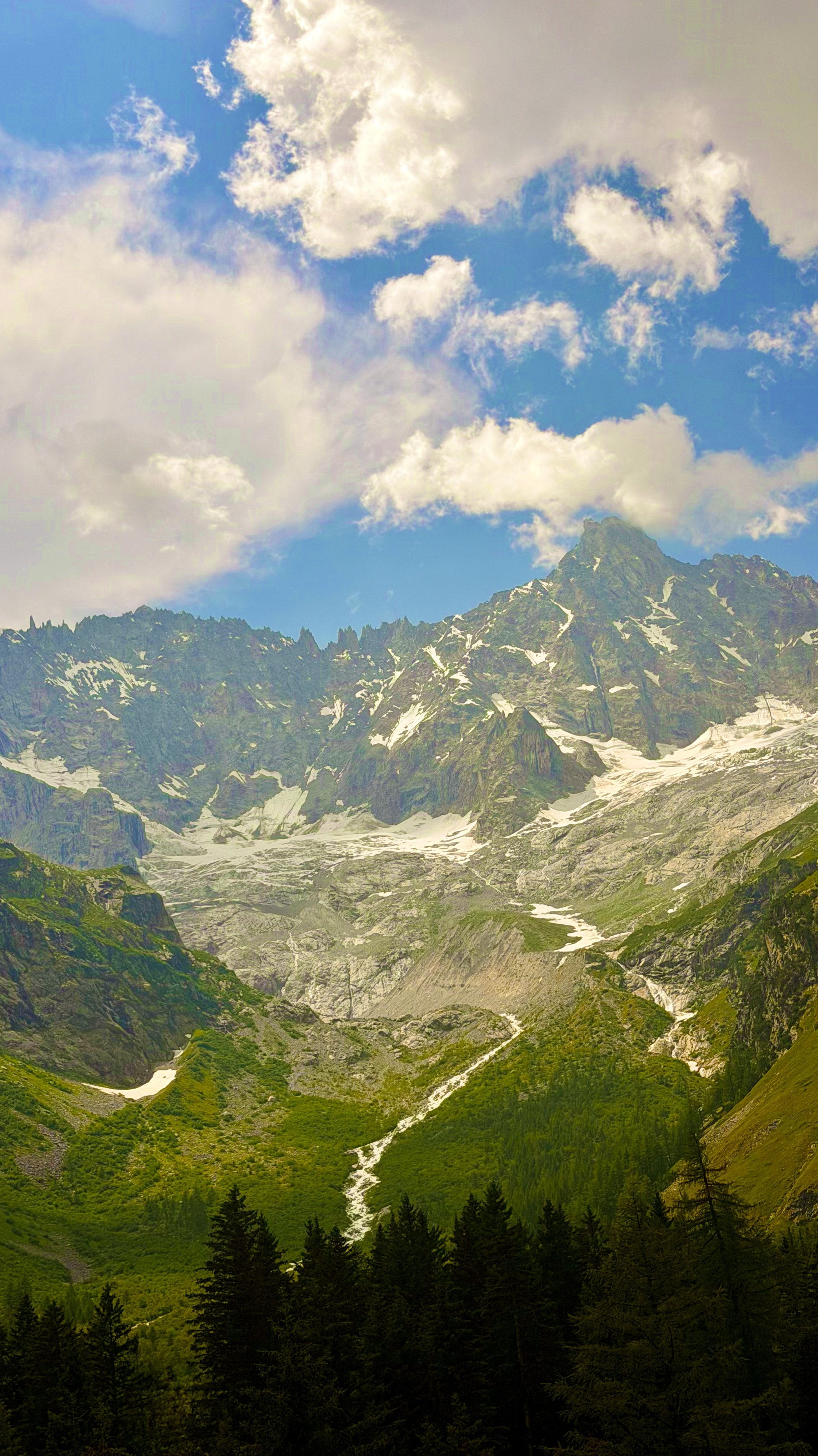
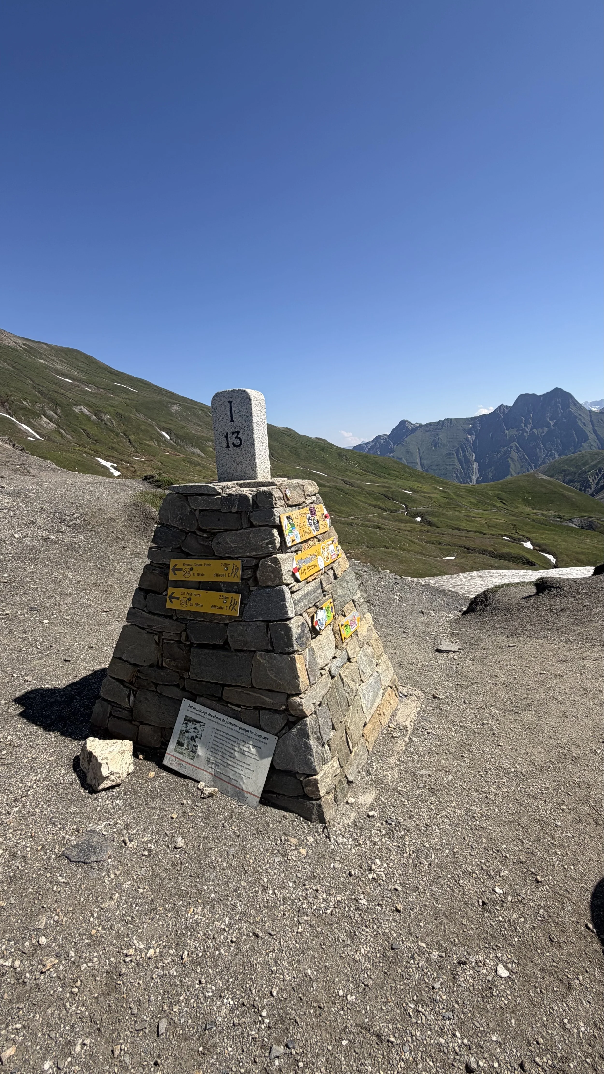
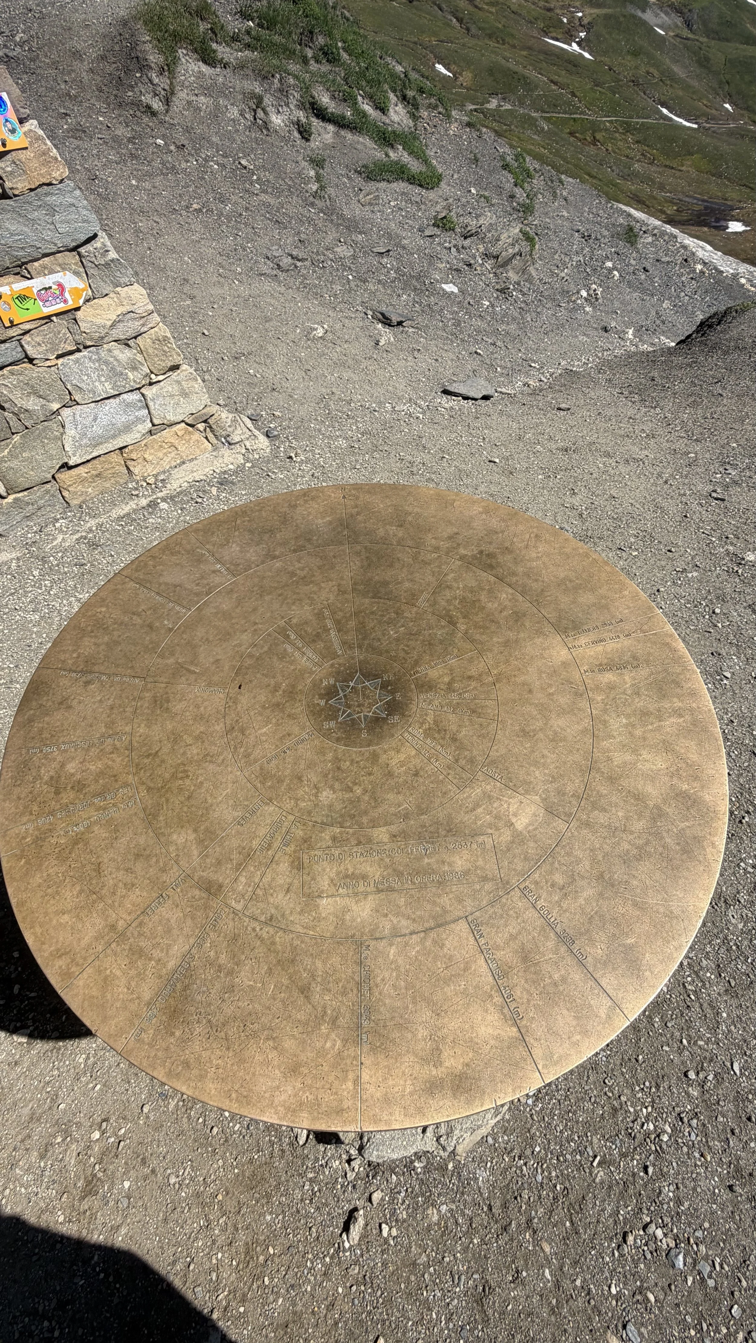
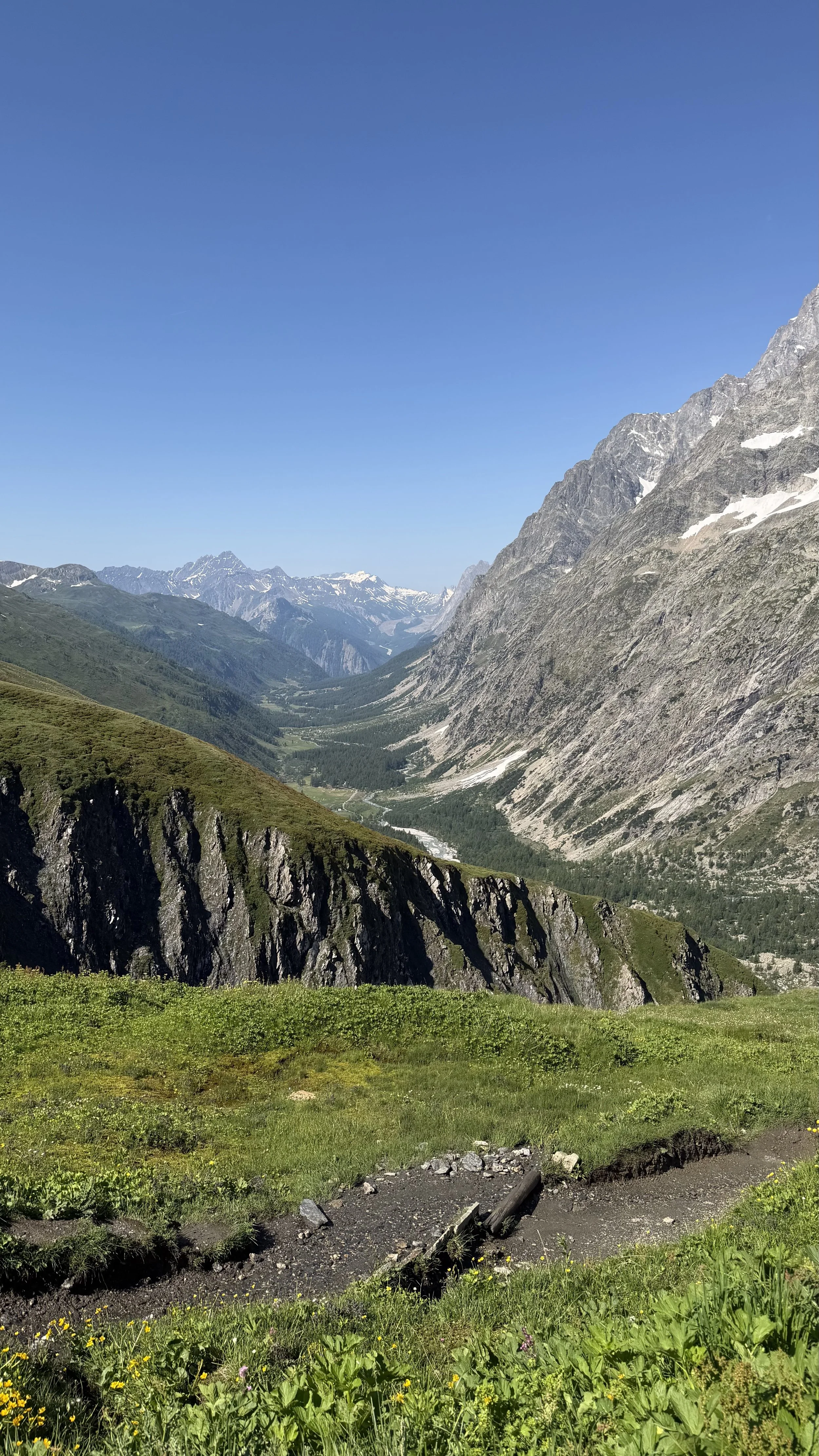
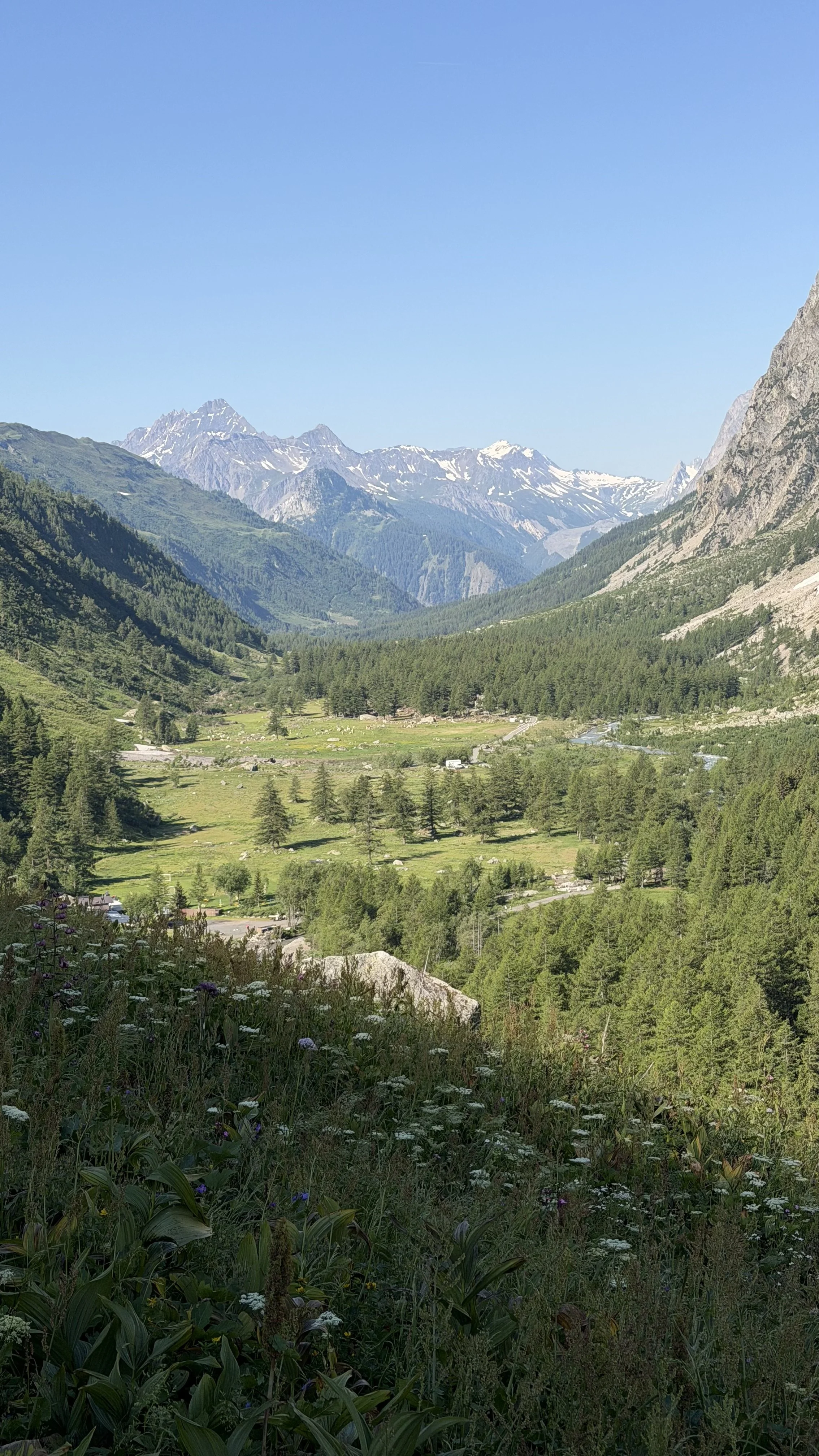
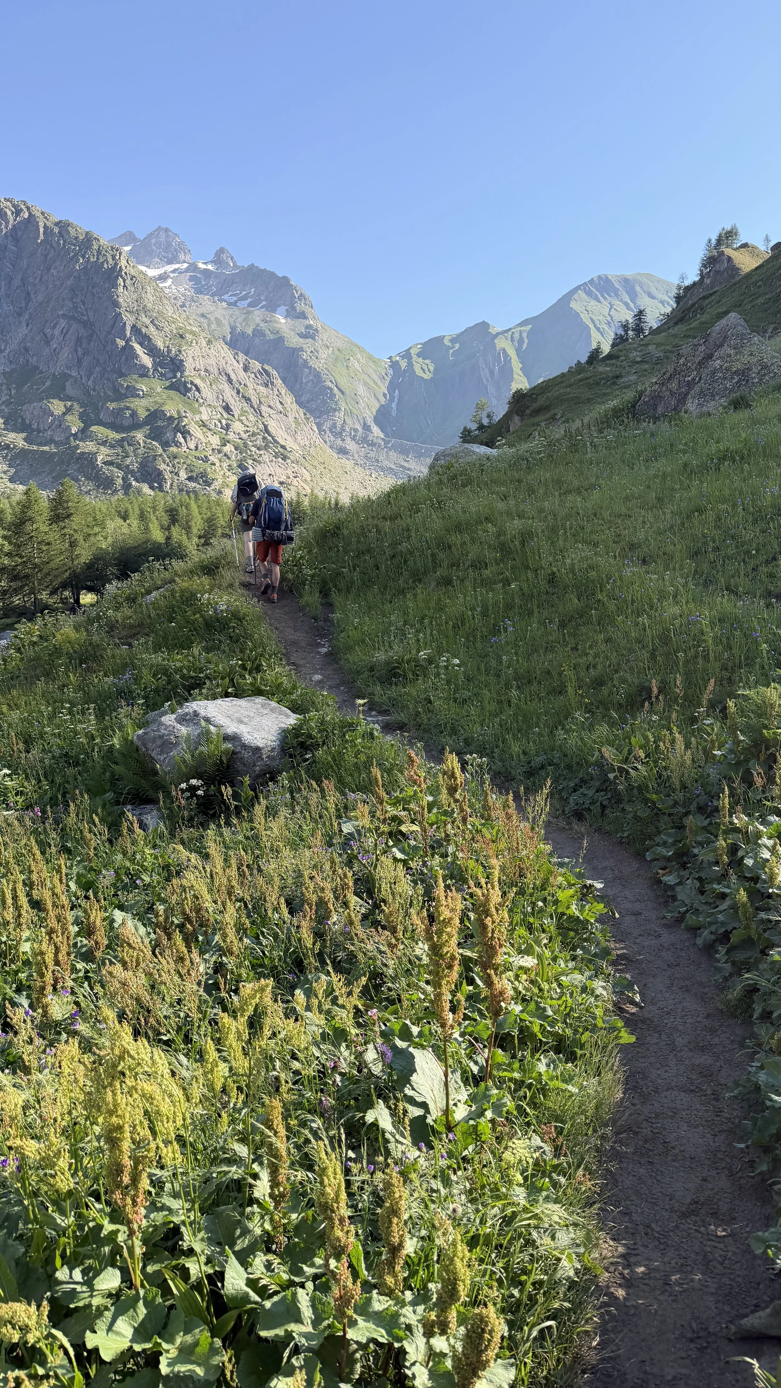
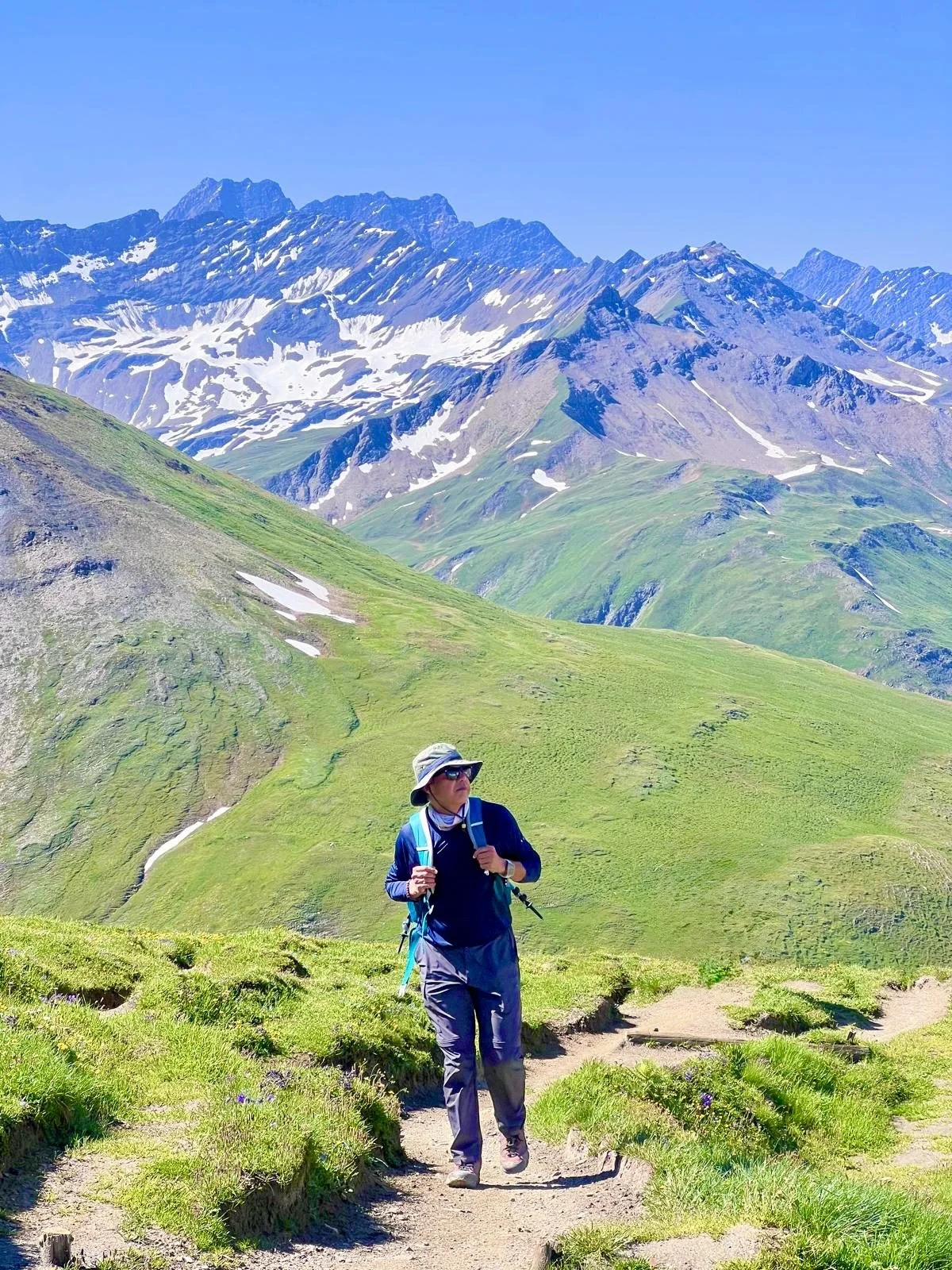
And then the top: Grand Col Ferret, the high point of the whole trek, where you step out of Italy and into Switzerland. The hills ahead seemed to green over as we crossed, softer country on the Swiss side.
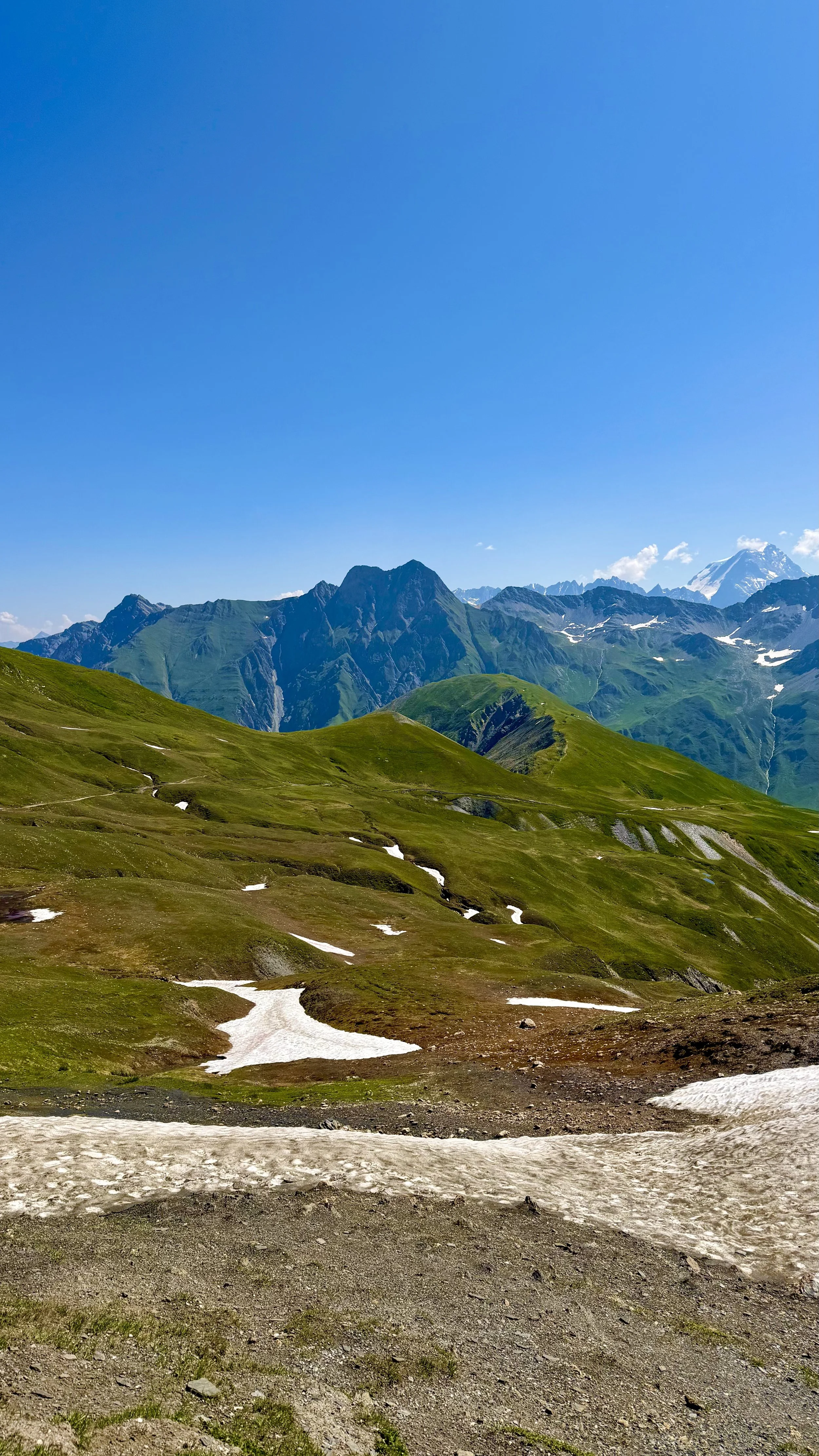
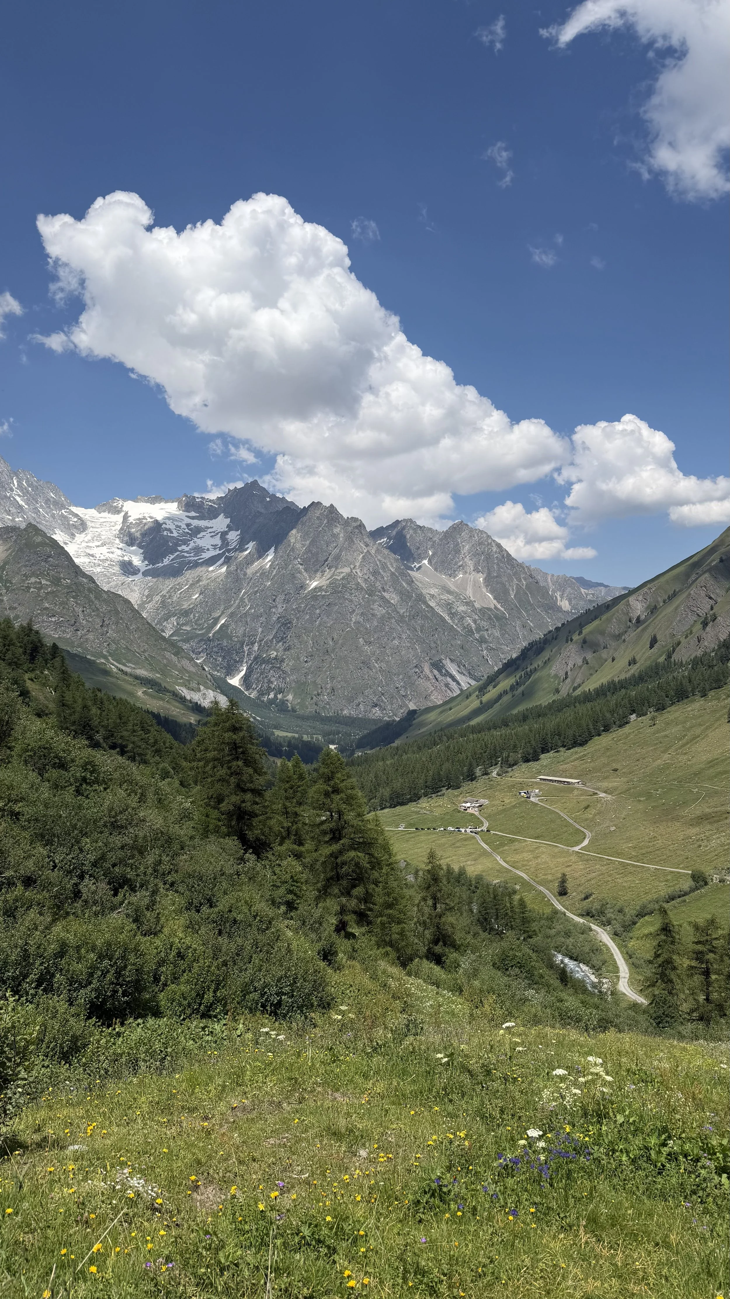
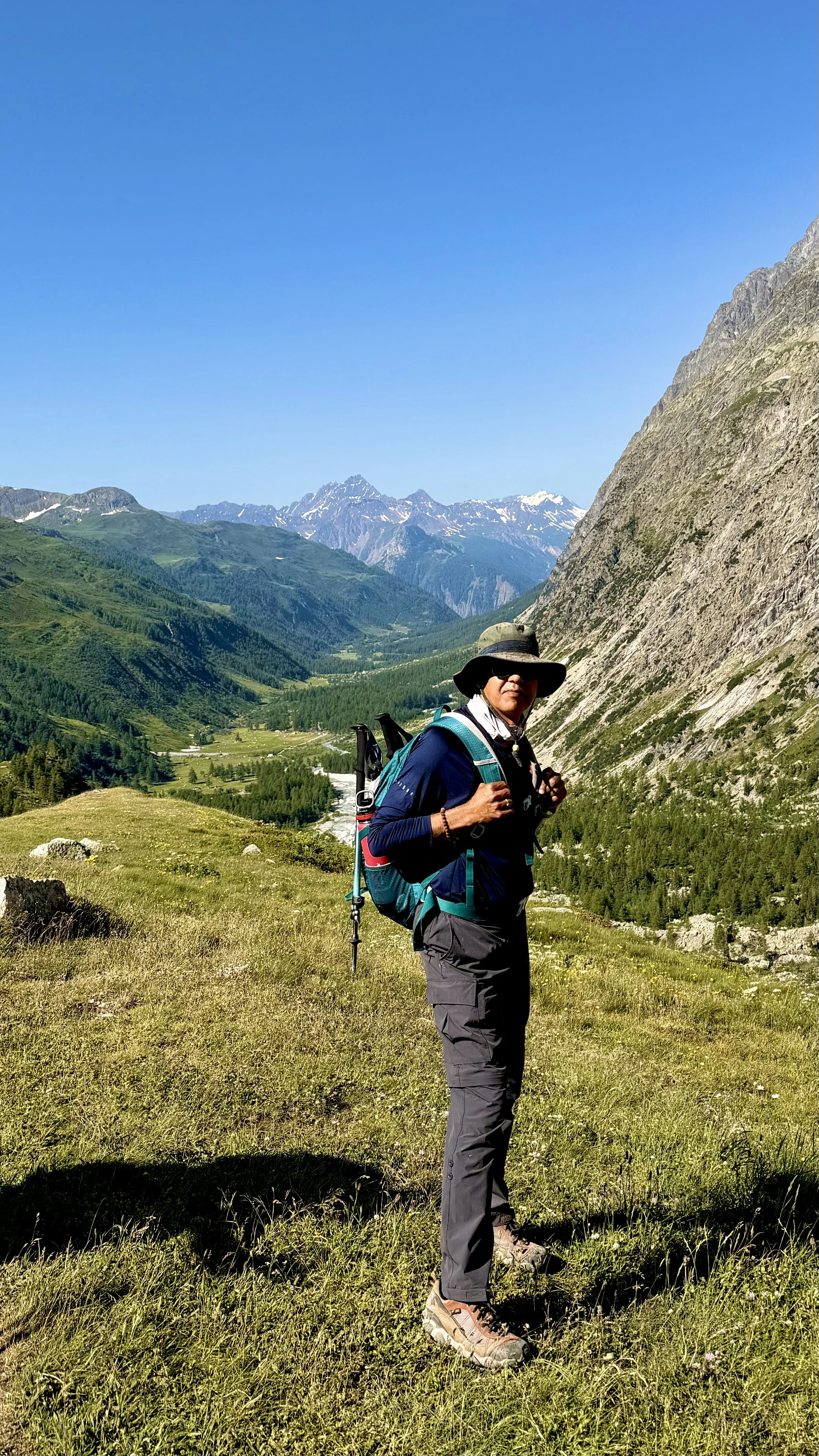
The view off the top — Switzerland opening up ahead
The knees complained on the way down the way they always do. But at the bottom they felt better than they had on either of the first two days. Something in the body is adjusting to this.
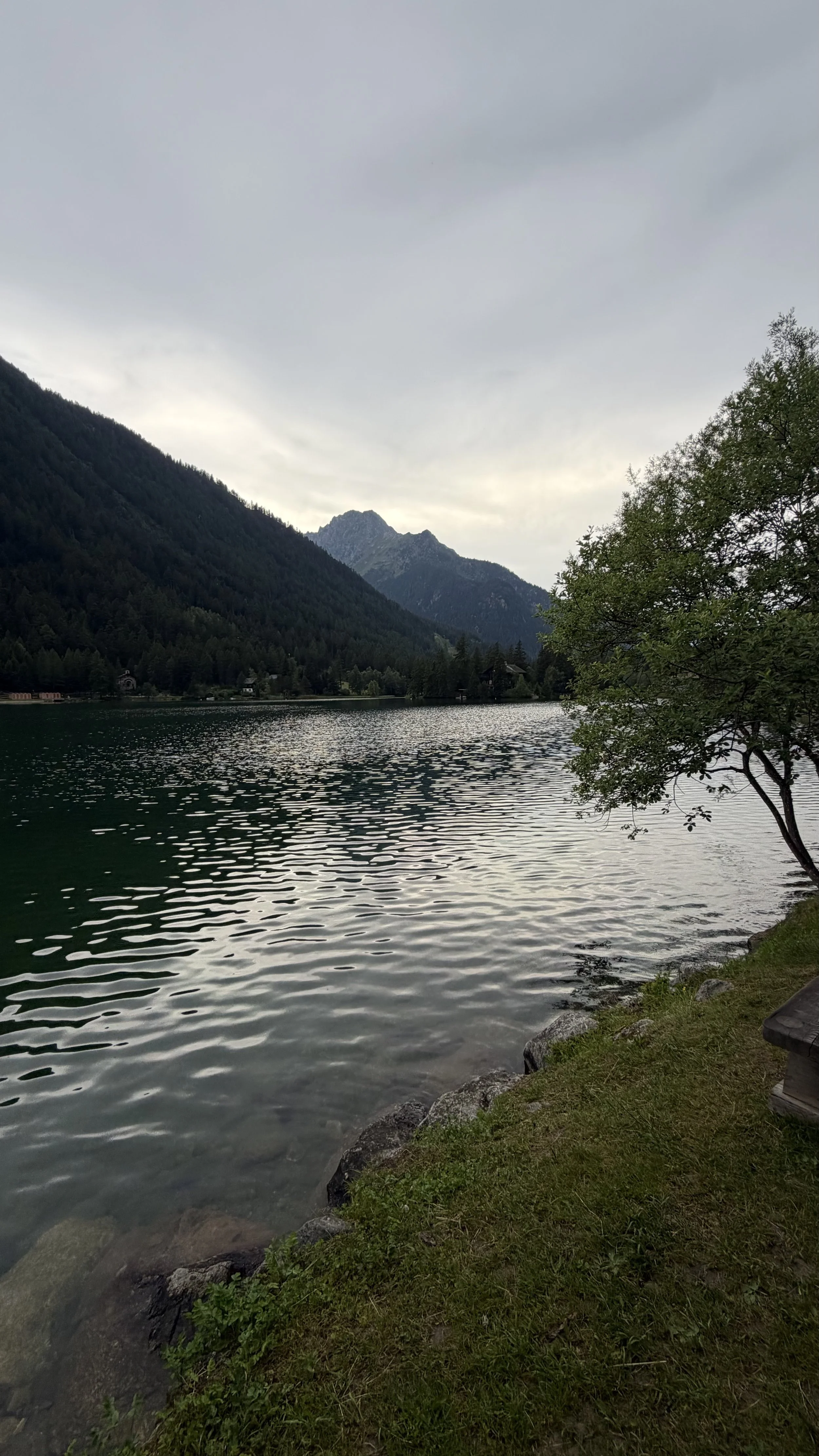
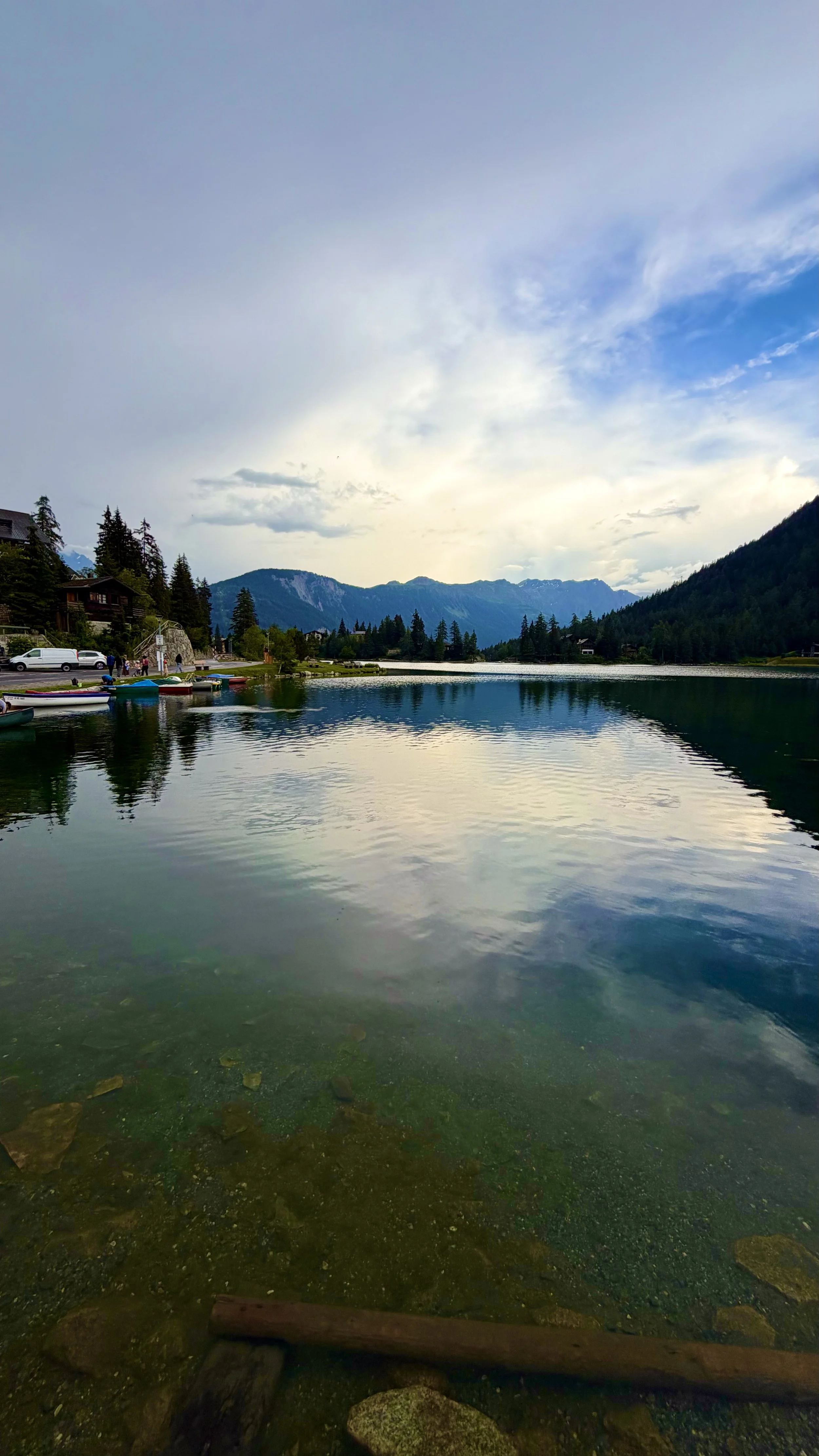
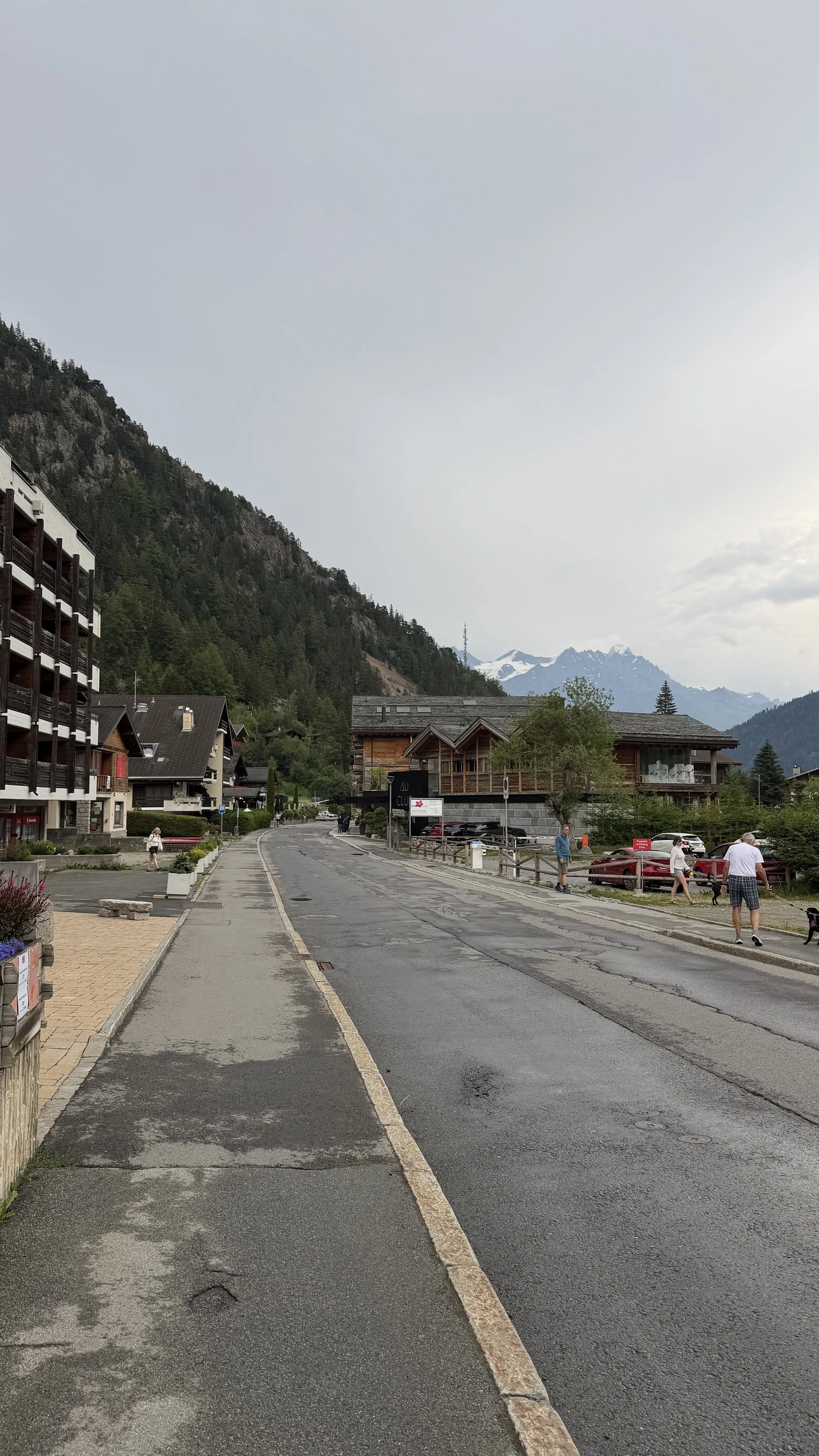
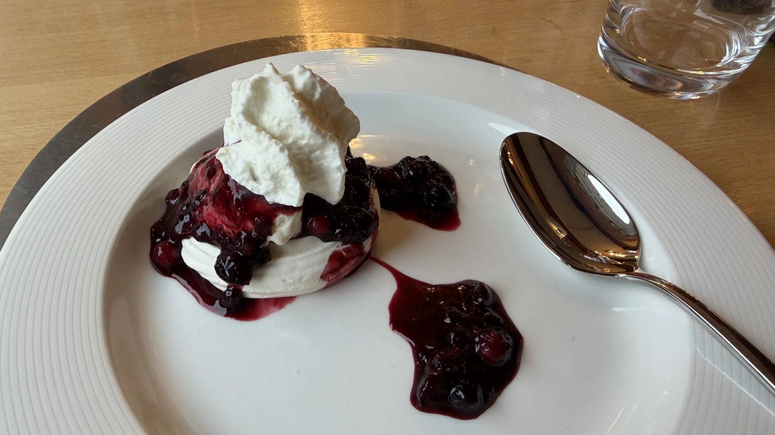
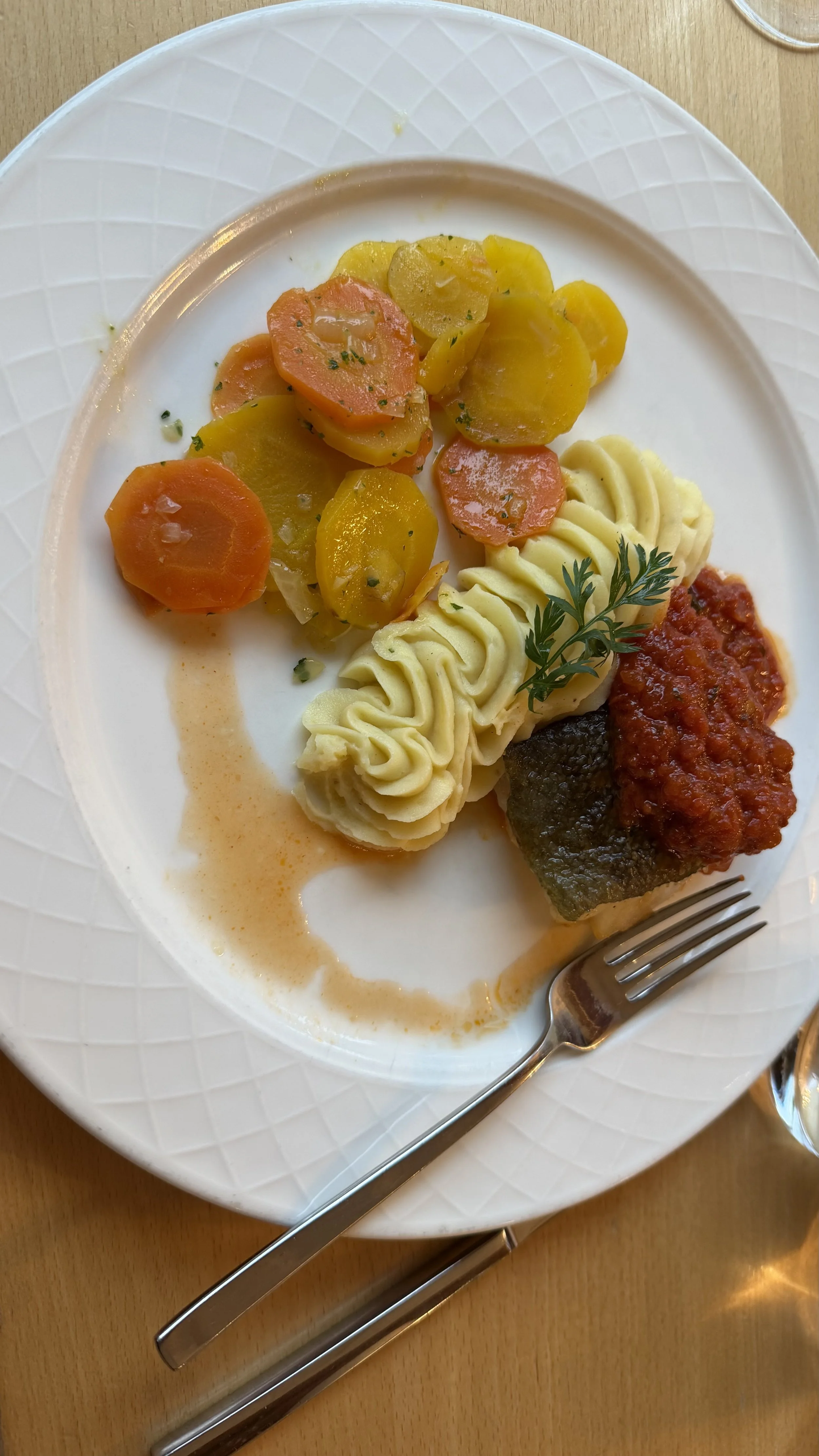
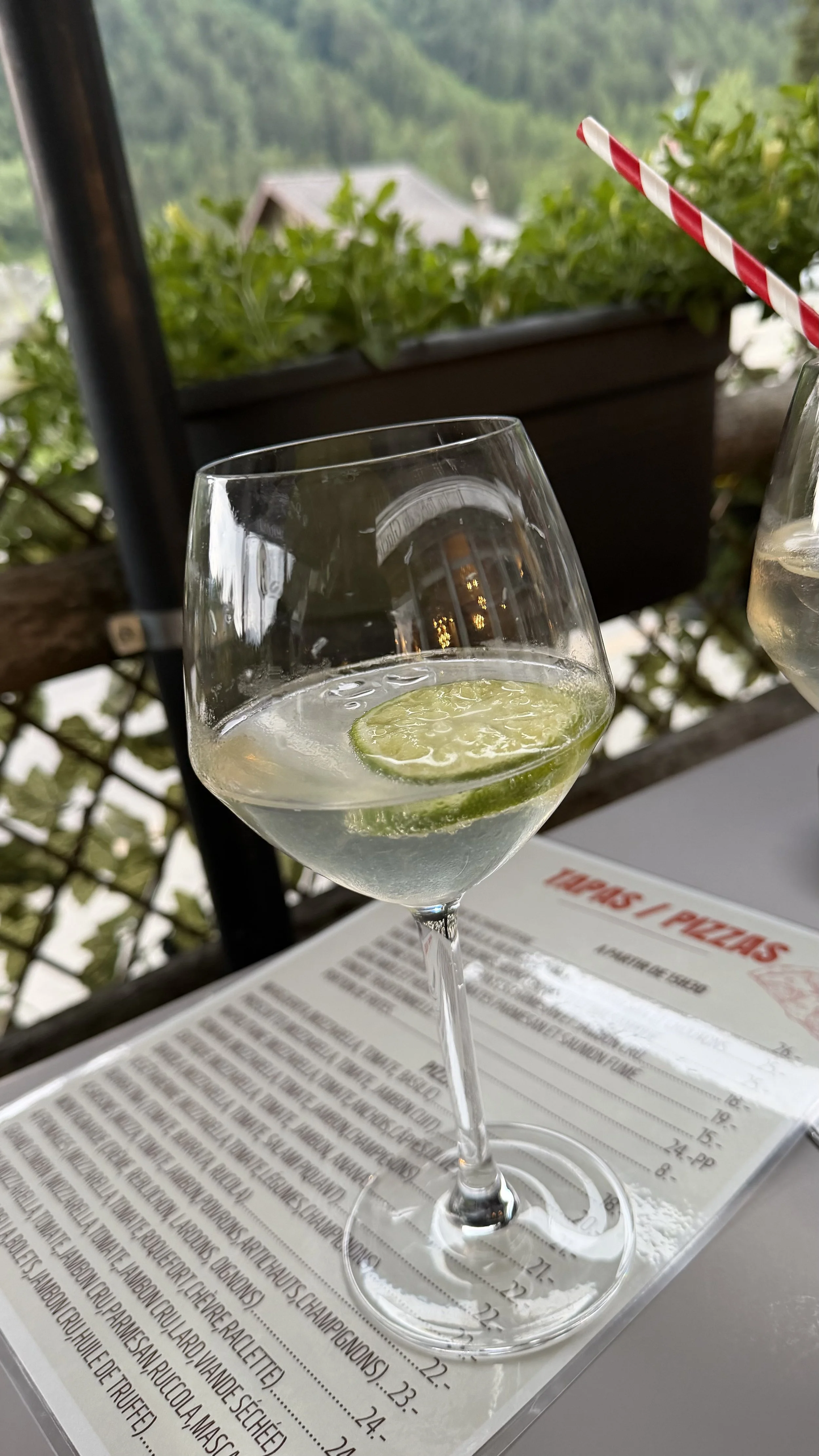
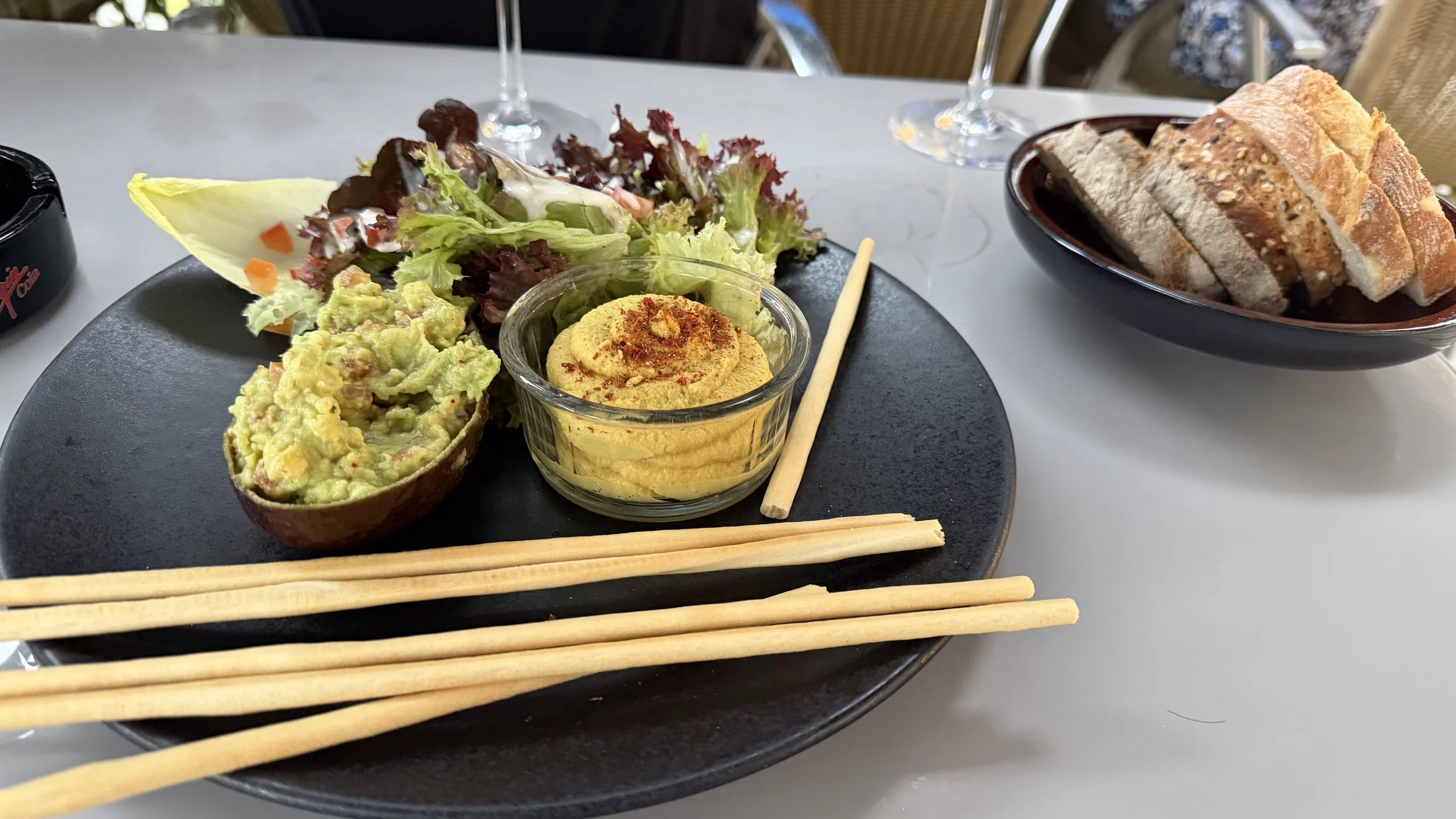
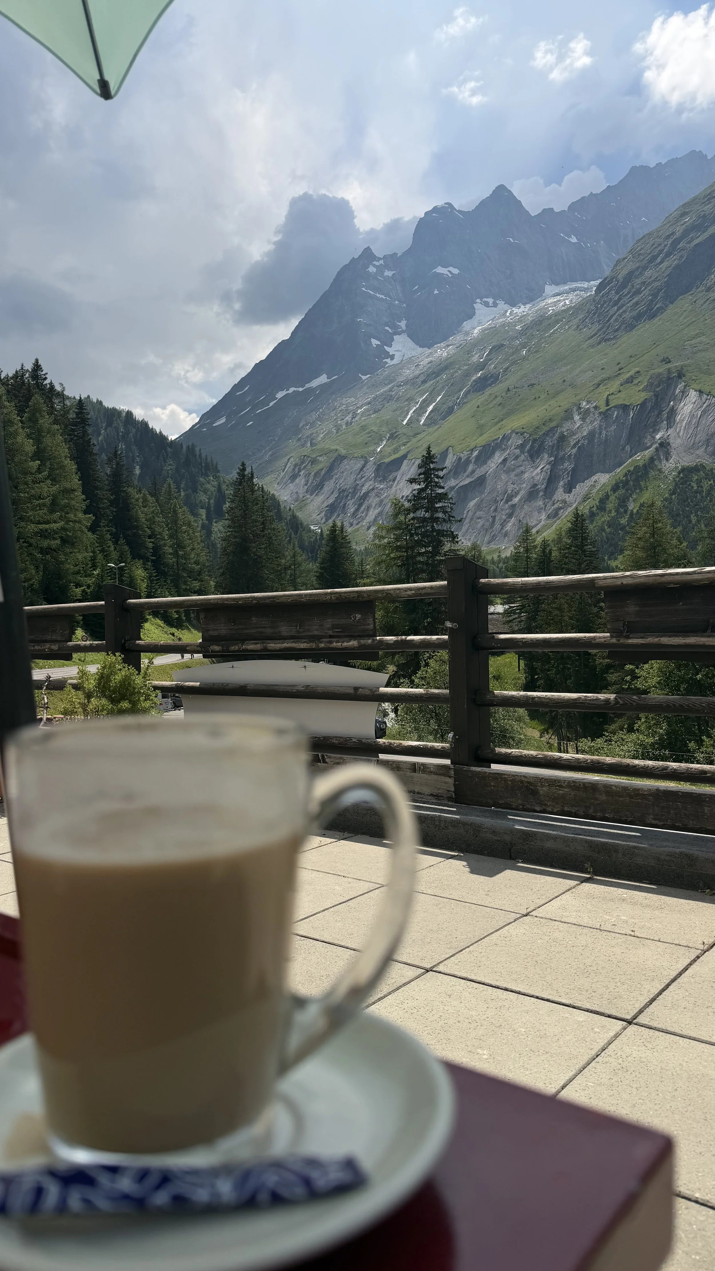
A shuttle carried us the last stretch from La Fouly into Champex-Lac, a beautiful little town wrapped around its lake. We'd arrived early, early enough to catch the last of Happy Hour on the hotel terrace, a drink and a view before the others rolled in. Dinner came with the room tonight, the one half-board stop of the trip, and for once that meant fish on the plate. A good end to the best-feeling day yet.
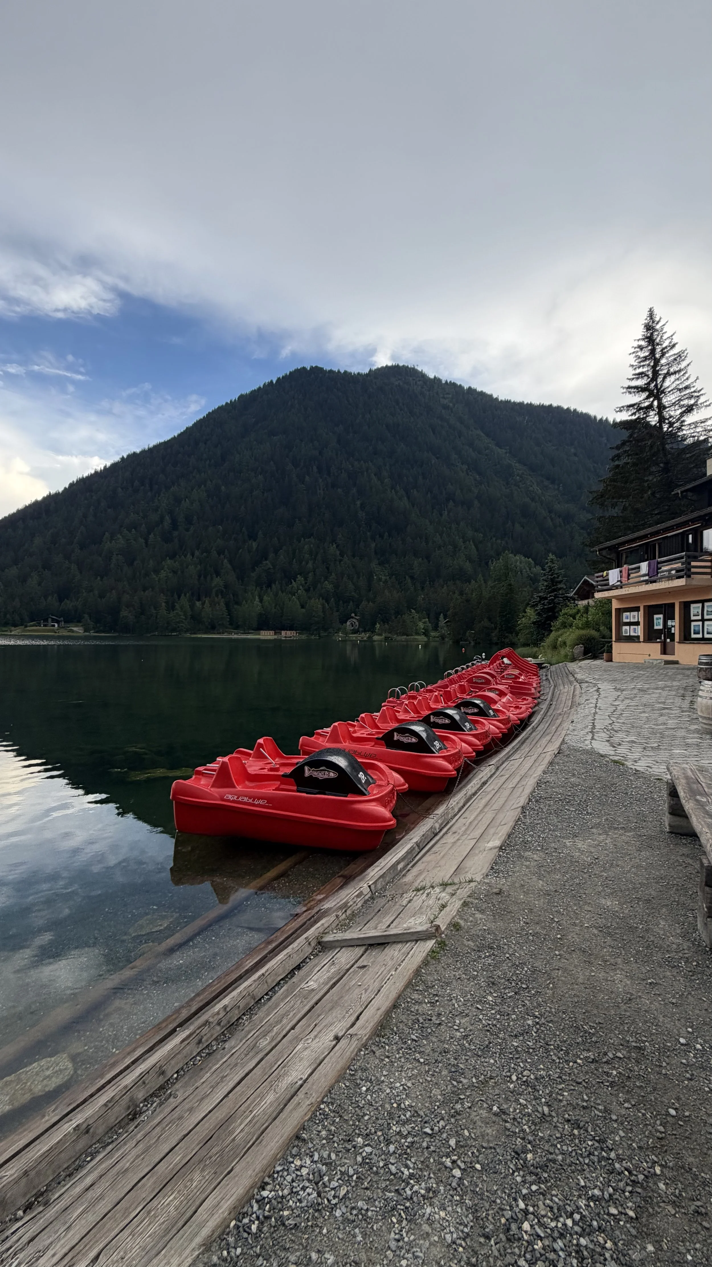
Lac de Champex at dusk, red pedal-boats along the boardwalk
Trail Notes
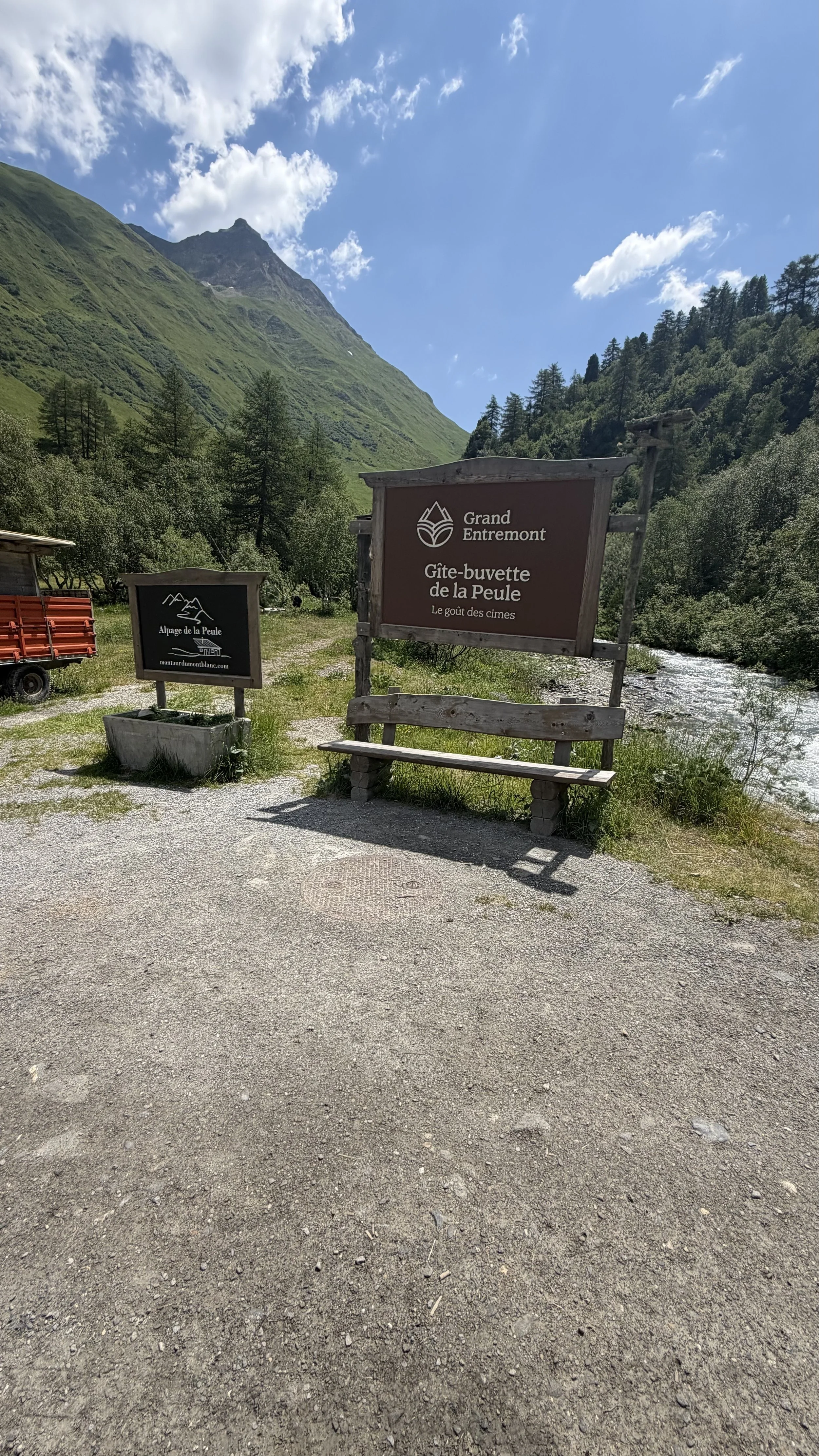
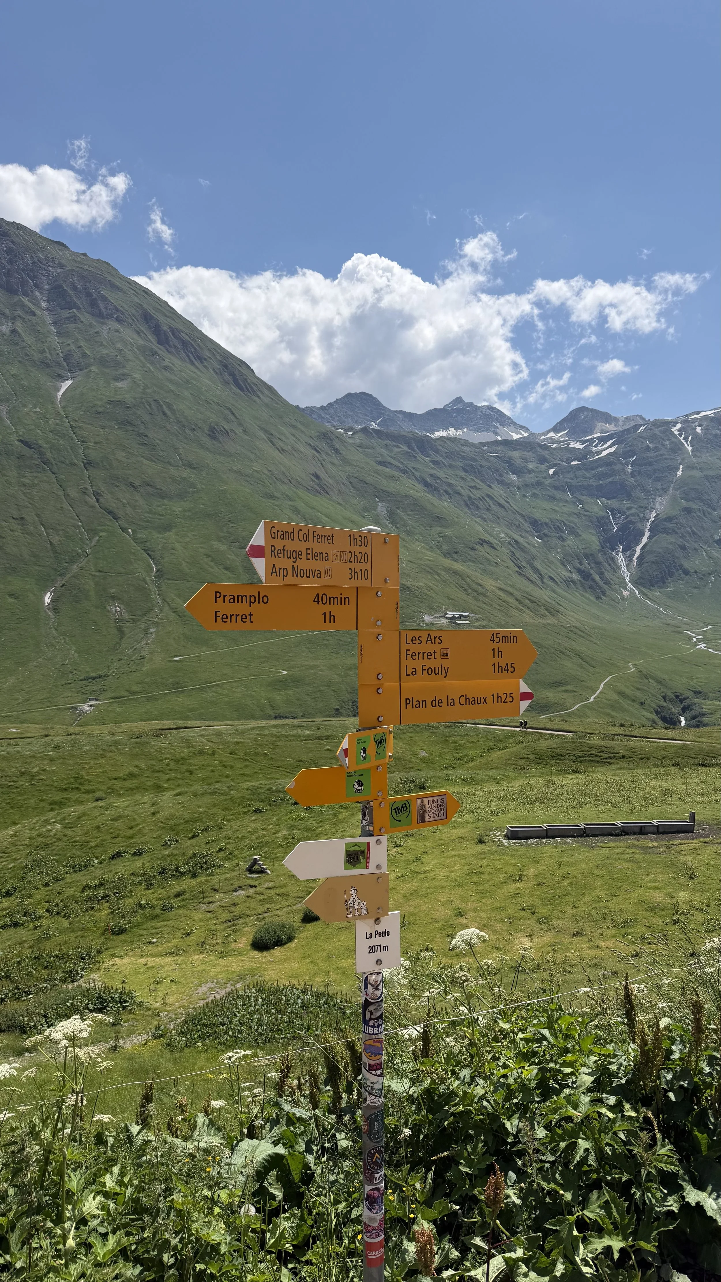
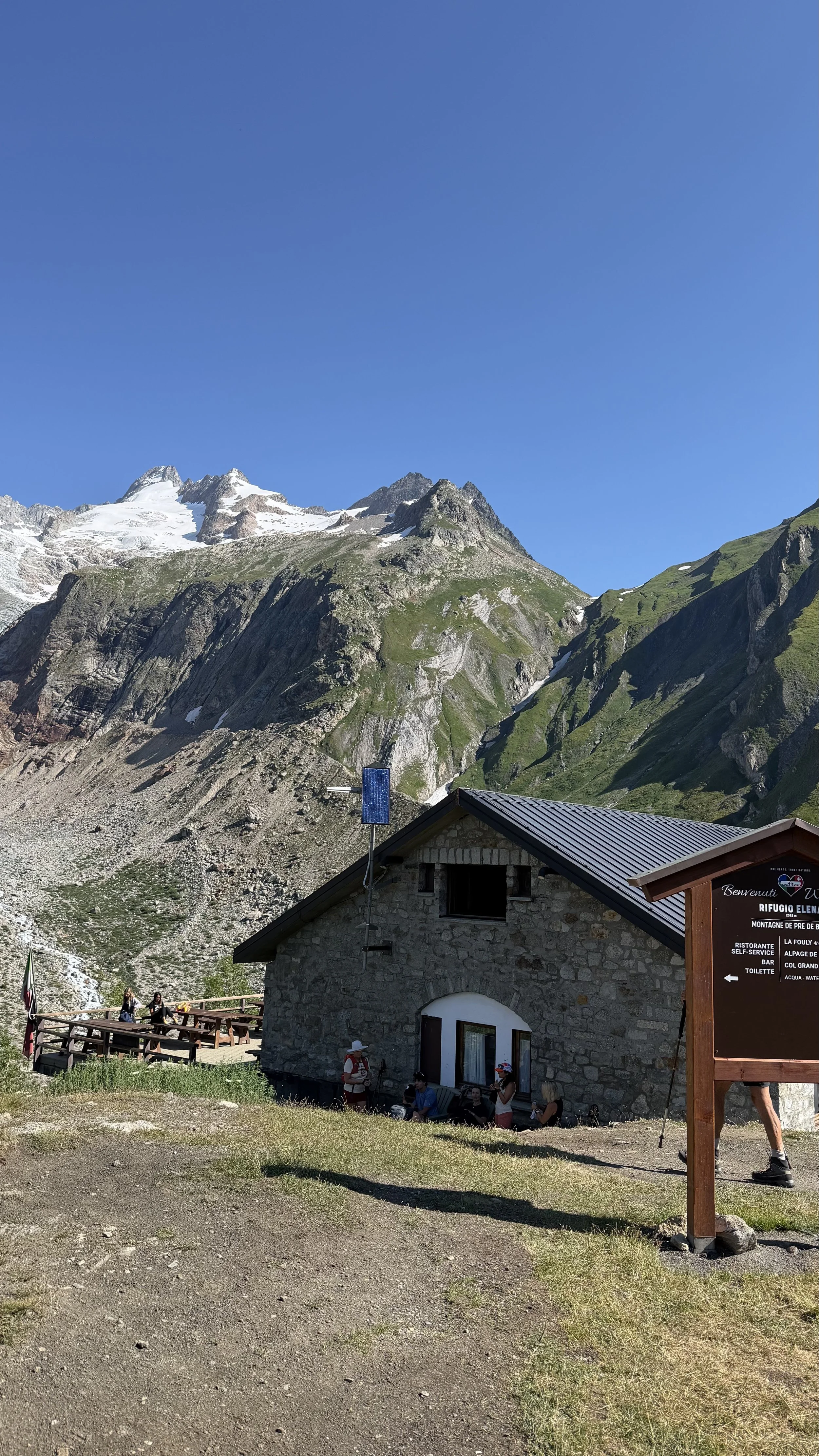
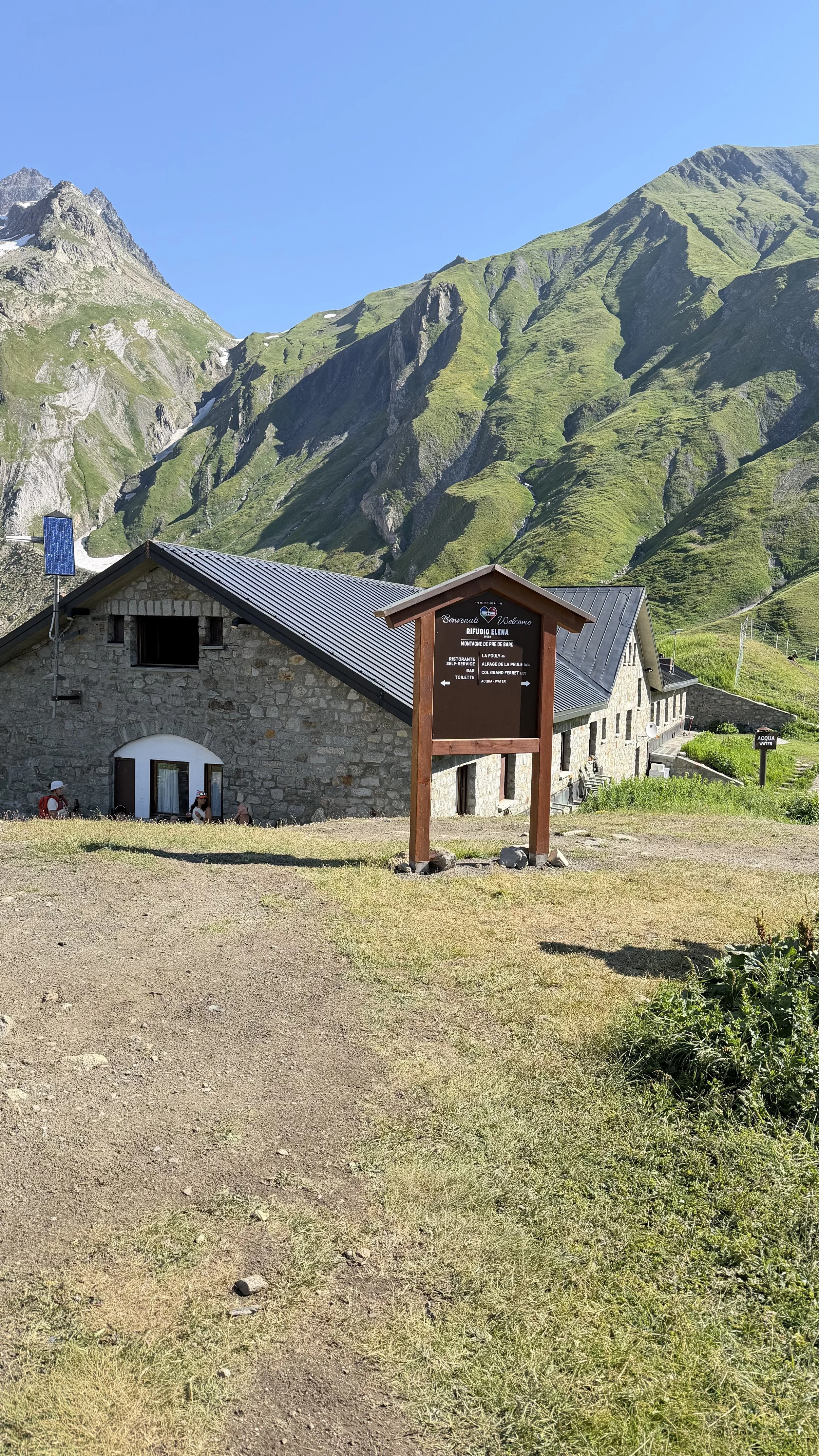
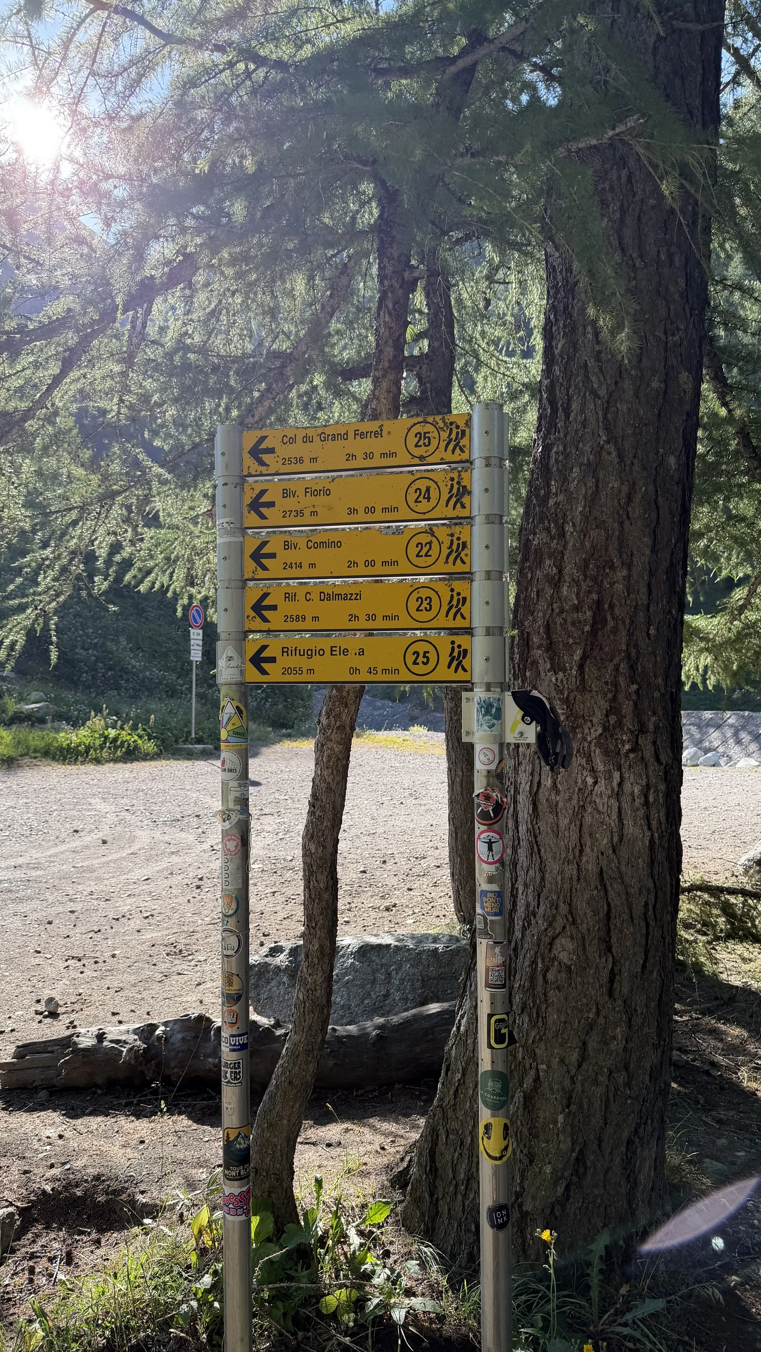
Route: Taxi (€70) from Courmayeur to Arnuva → past Rifugio Elena (last water, ~2,055 m) → Grand Col Ferret (2,536 m, Italy–Switzerland border, trek high point) → down the Swiss Val Ferret via La Peule → Ferret → La Fouly → shuttle to Champex-Lac.
Water: Rifugio Elena is the last reliable source before the col.
Snow (late June): A slushy, slippery patch by the creek was the one real hazard. Crossed slow.
The taxi call: Skipped the jammed peak-hour bus and split a taxi to the trailhead. Worth it.
Border: Italy into Switzerland at the top. Greener on the Swiss side.
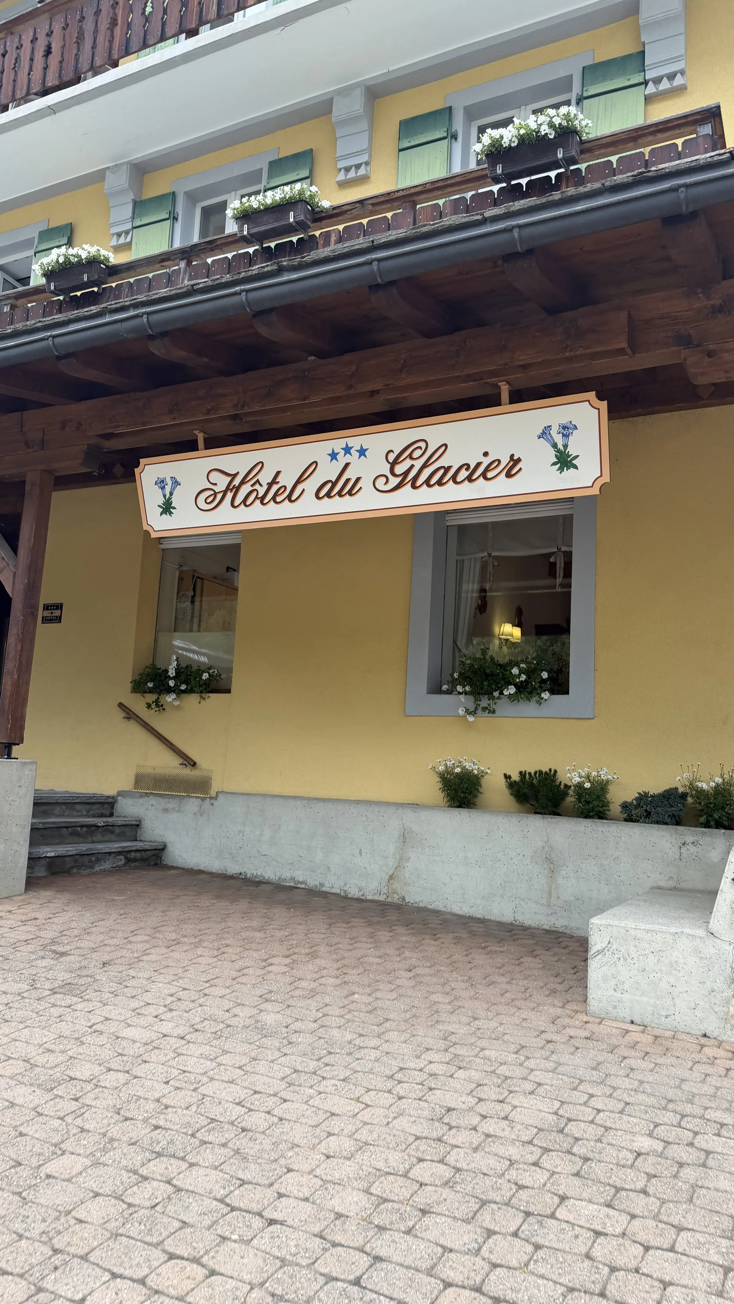
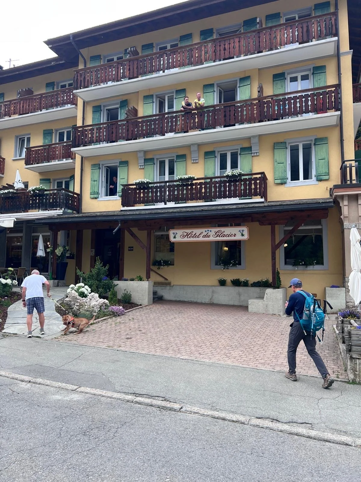
Where we stayed: Hôtel du Glacier, Champex-Lac (half-board, dinner included, fish).
The watch said: 9.96 mi · +2,606 ft · 5h30 moving · avg HR 123 · effort tagged Hard (7/10).Planning your own TMB Stage 4? Read the practical guide: TMB Stage 4 Guide: Courmayeur to Champex-Lac